Medium airport · Canada
Stony Rapids AirportCYSF
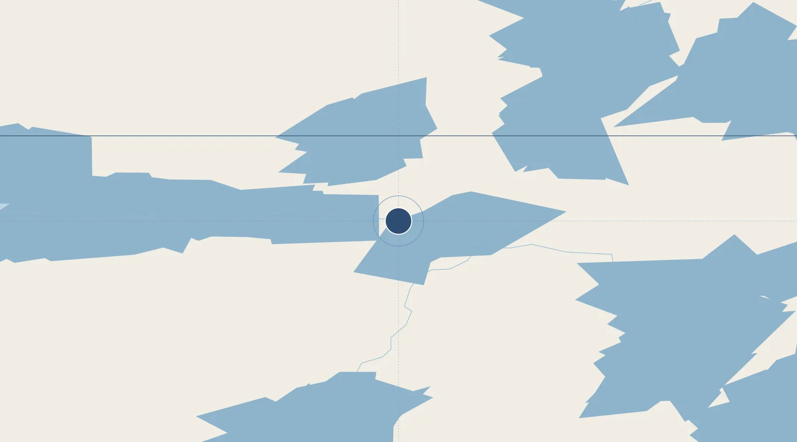
59.2503°, -105.8410°
5,050 ft
Longest runway
1
Runways
805 ft
Elevation
Runway & Layout

Navaids
YSF NDB Stony Rapids 287 kHz
Runways · 1
| Runway | Dimensions | Surface | True heading | Lit |
|---|---|---|---|---|
| 06/24 | 5,050 × 100ft | TREATED GRAVEL | — | — |
Airport Specifications
IATA code
YSF
ICAO code
CYSF
Airport class
Medium airport
Scheduled service
Yes
Runway surface
TREATED GRAVEL
Served city
Stony Rapids
Location
Nearby Logistics Neighbours
Airports
- 1Fond-du-Lac Airport77 km
- 2Points North Landing Airport148 km
- 3Uranium City Airport153 km
- 4Wollaston Lake Airport200 km
- 5Key Lake Airport222 km
Cities
- 1Kearl Lake372 km
- 2Fort MacKay410 km
- 3Anzac439 km
- 4Lac La Biche620 km
- 5Glendon643 km
Ports
- 1Churchill668 km
- 2Thunder Bay1617 km
- 3Grand Marais1631 km
- 4Two Harbors1650 km
- 5Duluth1658 km
Trade Zones
- 1Port Alberta - Edmonton FTZ775 km
- 2Global Transportation Hub Authority981 km
- 3Calgary Region Inland Port1049 km
- 4Winnipegs Centreport Canada1180 km
- 5FTZ No. 187 Toole County1255 km
DatabookThe Record of Consolidated Knowledge
Canada beyond logistics?