Transport Functions
Rail
Road
Hub Profile
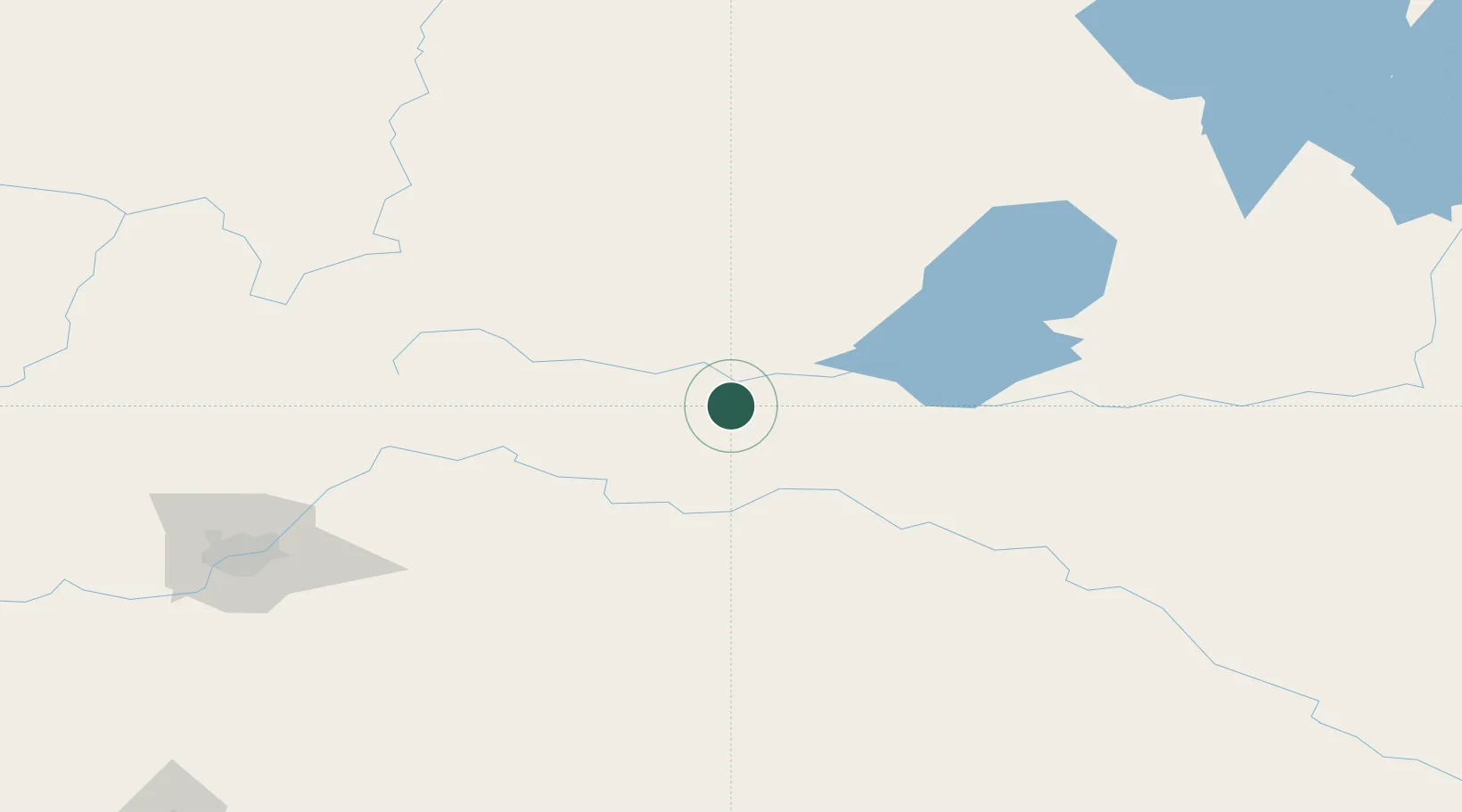
Place type
Populated place
Region
Alberta
Time zone
America/Edmonton
Elevation
587 m
Location
Nearby Logistics Neighbours
Cities
- 1Two Hills71 km
- 2Lac La Biche77 km
- 3Smoky Lake87 km
- 4Innisfree100 km
- 5Vegreville103 km
Ports
- 1Mission City951 km
- 2Port Coquitlam973 km
- 3Port Moody976 km
- 4Fraser Mills979 km
- 5New Westminster984 km
Airports
- 1Bonnyville Airport27 km
- 2CFB Cold Lake59 km
- 3Lloydminster Airport126 km
- 4Meadow Lake Airport172 km
- 5Edmonton International Airport191 km
Trade Zones
- 1Port Alberta - Edmonton FTZ158 km
- 2Calgary Region Inland Port407 km
- 3Global Transportation Hub Authority606 km
- 4FTZ No. 187 Toole County632 km
- 5FTZ No. 242 Boundary County726 km
DatabookThe Record of Consolidated Knowledge
Canada beyond logistics?