Transport Functions
Port
Multimodal
Hub Profile
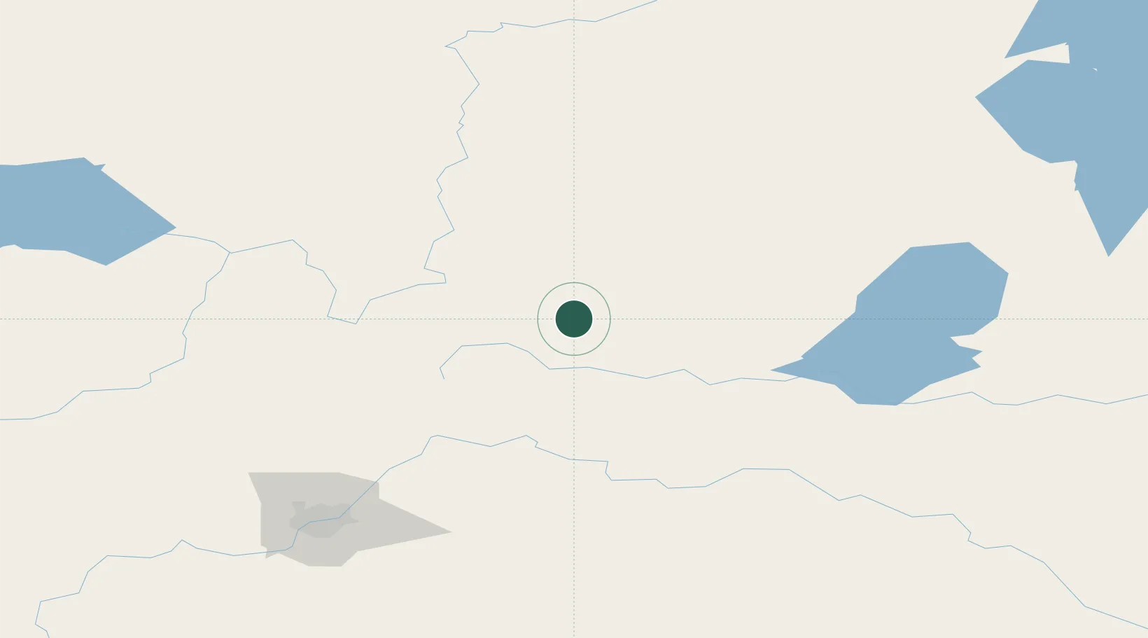
Place type
Populated place
Region
Alberta
Population
2,314
Time zone
America/Edmonton
Elevation
566 m
Location
Nearby Logistics Neighbours
Cities
- 1Glendon77 km
- 2Smoky Lake80 km
- 3Newbrook80 km
- 4Thorhild101 km
- 5Rochester107 km
Ports
- 1Mission City942 km
- 2Port Coquitlam961 km
- 3Port Moody963 km
- 4Fraser Mills966 km
- 5New Westminster971 km
Airports
- 1Bonnyville Airport93 km
- 2CFB Cold Lake115 km
- 3Slave Lake Airport189 km
- 4Edmonton International Airport194 km
- 5Lloydminster Airport203 km
Trade Zones
- 1Port Alberta - Edmonton FTZ155 km
- 2Calgary Region Inland Port437 km
- 3Global Transportation Hub Authority683 km
- 4FTZ No. 187 Toole County685 km
- 5PrInce George Logistics Park706 km
DatabookThe Record of Consolidated Knowledge
Canada beyond logistics?