Medium airport · Canada
Points North Landing AirportCYNL
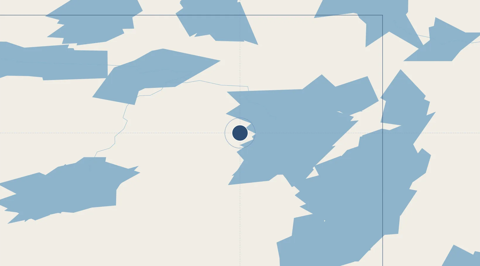
58.2767°, -104.0820°
6,000 ft
Longest runway
1
Runways
1,605 ft
Elevation
Runway & Layout

Navaids
4H NDB Points North Landing 368 kHz
Runways · 1
| Runway | Dimensions | Surface | True heading | Lit |
|---|---|---|---|---|
| 16/34 | 6,000 × 100ft | GRAVEL | — | — |
Airport Specifications
IATA code
YNL
ICAO code
CYNL
Airport class
Medium airport
Scheduled service
Yes
Runway surface
GRAVEL
Served city
Points North Landing
Location
Nearby Logistics Neighbours
Airports
- 1Wollaston Lake Airport57 km
- 2Key Lake Airport146 km
- 3Brochet Airport148 km
- 4Stony Rapids Airport148 km
- 5Lac Brochet Airport157 km
Cities
- 1Kearl Lake439 km
- 2Fort MacKay464 km
- 3Anzac464 km
- 4Aylsham567 km
- 5Zenon Park580 km
Ports
- 1Churchill576 km
- 2Thunder Bay1469 km
- 3Grand Marais1483 km
- 4Two Harbors1502 km
- 5Duluth1510 km
Trade Zones
- 1Port Alberta - Edmonton FTZ772 km
- 2Global Transportation Hub Authority872 km
- 3Calgary Region Inland Port1026 km
- 4Winnipegs Centreport Canada1035 km
- 5FTZ No. 187 Toole County1203 km
DatabookThe Record of Consolidated Knowledge
Canada beyond logistics?