Runway & Layout

Airport Specifications
IATA code
YGZ
ICAO code
CYGZ
Airport class
Small airport
Scheduled service
Yes
Served city
Grise Fiord
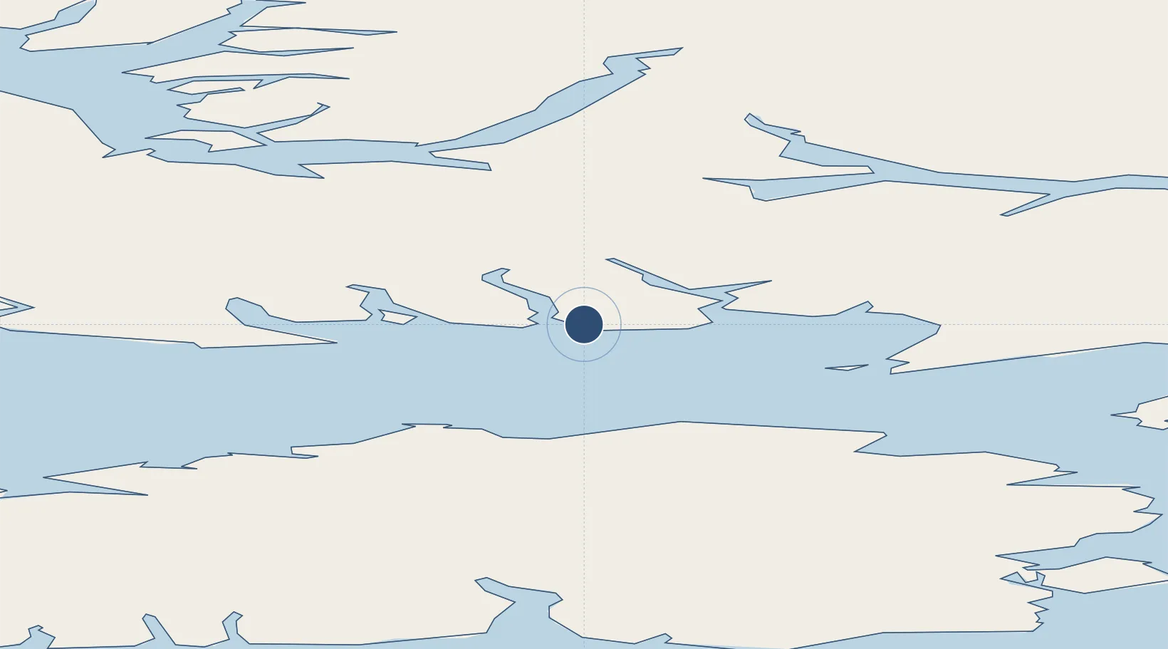
Location
Nearby Logistics Neighbours
Airports
- 1Siorapaluk Heliport339 km
- 2Qaanaaq Airport358 km
- 3Pituffik Space Base369 km
- 4Resolute Bay Airport383 km
- 5Arctic Bay Airport385 km
Cities
- 1Grise Fiord2 km
- 2Arctic Bay383 km
- 3Milne Inlet Port509 km
- 4Suursaq600 km
- 5Igloolik786 km
Ports
- 1Pituffik (Thule Air Base)364 km
- 2Pond Inlet447 km
- 3Kajalleq Upernavik939 km
- 4Pangnirtung1287 km
- 5Deception Bay1616 km
Trade Zones
- 1Port Alberta - Edmonton FTZ2833 km
- 2Winnipegs Centreport Canada3016 km
- 3Global Transportation Hub Authority3041 km
- 4FTZ No. 259 Koochiching County3171 km
- 5FTZ No. 103 Grand Forks3234 km
DatabookThe Record of Consolidated Knowledge
Canada beyond logistics?