Transport Functions
Port
Airport
Hub Profile
Place type
Locality
Region
Nunavut
Population
144
Time zone
America/Iqaluit
Elevation
247 m
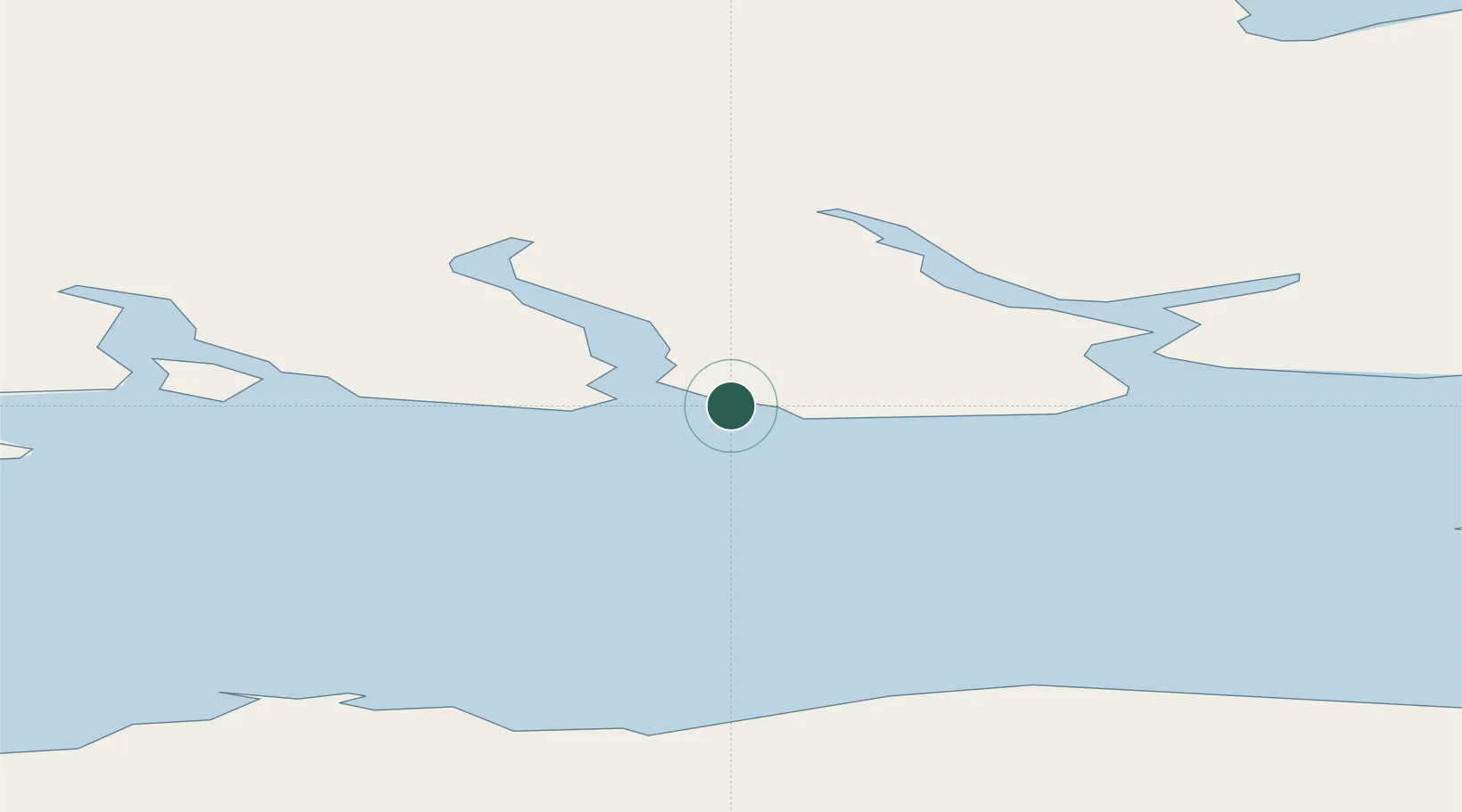
Location
Nearby Logistics Neighbours
Cities
- 1Arctic Bay382 km
- 2Milne Inlet Port508 km
- 3Suursaq602 km
- 4Igloolik785 km
- 5Gjoa Haven963 km
Ports
- 1Pituffik (Thule Air Base)366 km
- 2Pond Inlet447 km
- 3Kajalleq Upernavik940 km
- 4Pangnirtung1286 km
- 5Deception Bay1616 km
Airports
- 1Grise Fiord Airport2 km
- 2Siorapaluk Heliport341 km
- 3Qaanaaq Airport360 km
- 4Pituffik Space Base370 km
- 5Resolute Bay Airport382 km
Trade Zones
- 1Port Alberta - Edmonton FTZ2832 km
- 2Winnipegs Centreport Canada3014 km
- 3Global Transportation Hub Authority3040 km
- 4FTZ No. 259 Koochiching County3170 km
- 5FTZ No. 103 Grand Forks3233 km
DatabookThe Record of Consolidated Knowledge
Canada beyond logistics?