Medium airport · Canada
Schefferville AirportCYKL
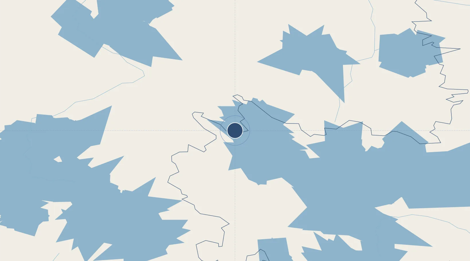
54.8053°, -66.8053°
5,000 ft
Longest runway
1
Runways
1,709 ft
Elevation
Runway & Layout

Radio Frequencies
AWOS
124.6 MHz
A/G
122.2 MHz
MF
CNTR
132.9 MHz
MONTREAL CNTR
FSS
126.7 MHz
QUEBEC RDO
RCO
126.7 MHz
QUEBEC RDO
Navaids
KL NDB Schefferville 203 kHz
KR NDB Squaw 323 kHz
YKL VOR-DME Schefferville 112.70 MHz
Runways · 1
| Runway | Dimensions | Surface | True heading | Lit |
|---|---|---|---|---|
| 17/35 | 5,000 × 150ft | Asphalt | 149° | ✓ |
Airport Specifications
IATA code
YKL
ICAO code
CYKL
Airport class
Medium airport
Scheduled service
Yes
Runway surface
Asphalt
Served city
Schefferville
Location
Nearby Logistics Neighbours
Airports
- 1Wabush Airport210 km
- 2Churchill Falls Airport224 km
- 3Nain Airport375 km
- 4Natuashish Airport376 km
- 5Kuujjuaq Airport379 km
Cities
- 1Drogheda Premiere Periclase304 km
- 2Voisey's Bay351 km
- 3Edwards Cove351 km
- 4Nain375 km
- 5Kuujjuaq379 km
Ports
- 1Nain375 km
- 2Goose Bay453 km
- 3Sept Iles513 km
- 4Pointe Noire516 km
- 5Port Cartier531 km
Trade Zones
- 1FTZ No. 179 Madawaska844 km
- 2Québec City FTZ940 km
- 3Cape Breton Regional Municipality Foreign Trade Zone1051 km
- 4Crossroads Business Park1060 km
- 5Saint John1061 km
DatabookThe Record of Consolidated Knowledge
Canada beyond logistics?