Seaport · Canada

NainCANAI

56.5500°, -61.6833°
Nain is also a UN/LOCODE logistics hub →

Channel & Berth Profile

NGA World Port Index

Facilities & Capabilities

Container
Ro-Ro
Liquid bulkYES
Dry bulk
Oil terminalYES
Break bulk
Dry dock
Repairs
Bunkering
Rail link
Dangerous cargo
ISPS security
NGA World Port Index

Harbour Specifications
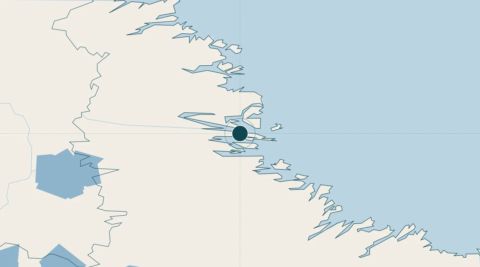
Water body
Labrador Sea; North Atlantic Ocean
NGA World Port Index

Location

Location of CANAI
Natural Earth 10m (public domain) · Newfoundland and Labrador · CANAI · 56.55, -61.68GoogleOSMYandex

Nearby Logistics Neighbours

Ports
  1. 1Goose Bay365 km
  2. 2Blanc Sablon643 km
  3. 3St Anthony701 km
  4. 4Havre St Pierre714 km
  5. 5Roddickton729 km
Nearest neighbours — logibook spatial index (haversine) over the source coordinates
Cities
  1. 1Voisey's Bay35 km
  2. 2Edwards Cove59 km
  3. 3Hopedale153 km
  4. 4Hebron192 km
  5. 5Adlavik251 km
Nearest neighbours — logibook spatial index (haversine) over the source coordinates
Airports
  1. 1Nain Airport0 km
  2. 2Natuashish Airport77 km
  3. 3Hopedale Airport152 km
  4. 4Postville Airport218 km
  5. 5Makkovik Airport226 km
Nearest neighbours — logibook spatial index (haversine) over the source coordinates
Trade Zones
  1. 1Crossroads Business Park970 km
  2. 2FTZ No. 179 Madawaska1126 km
  3. 3Cape Breton Regional Municipality Foreign Trade Zone1156 km
  4. 4Québec City FTZ1264 km
  5. 5Saint John1290 km
Nearest neighbours — logibook spatial index (haversine) over the source coordinates
DatabookThe Record of Consolidated Knowledge
Canada beyond logistics?
Browse databook

All Sources

Portsthe NGA World Port Index
Public domain (US gov)
AirportsOurAirports
Public domain
LocationsUN/LOCODE
UN/LOCODE — free
Trade Zonesthe World Bank SEZ database
CC BY 4.0
Trade ZonesOpen Zone Map
CC BY
← Canada ports