Transport Functions
Port
Hub Profile
Region
NL
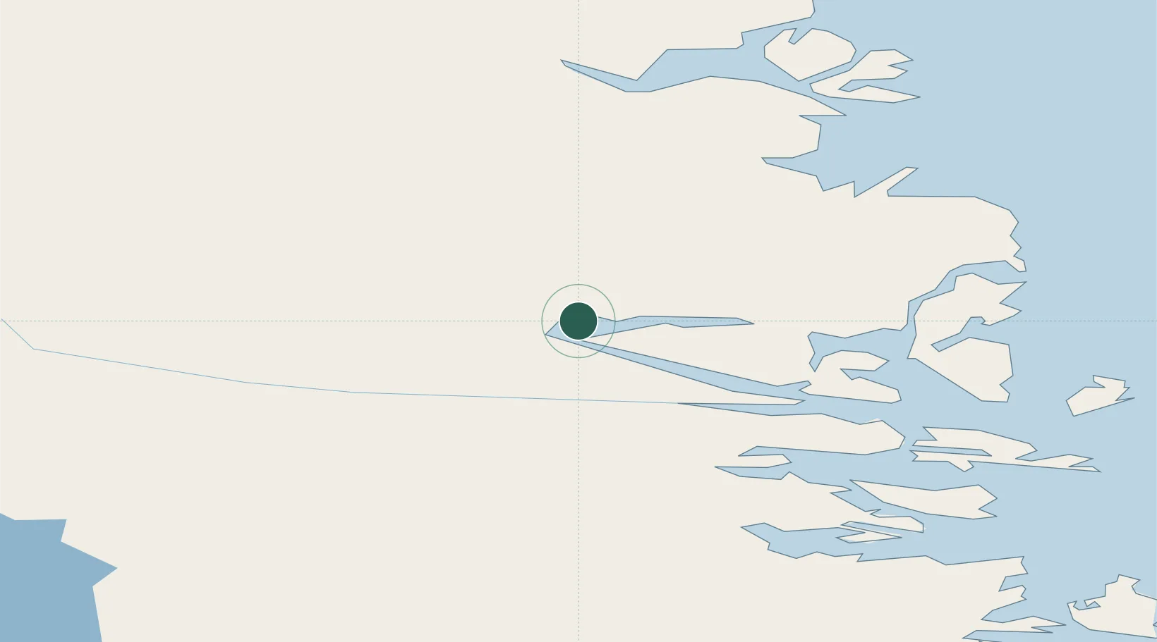
Location
Nearby Logistics Neighbours
Cities
- 1Nain59 km
- 2Voisey's Bay76 km
- 3Hebron152 km
- 4Hopedale209 km
- 5Seven Islands Bay297 km
Ports
- 1Nain59 km
- 2Goose Bay410 km
- 3Blanc Sablon696 km
- 4Havre St Pierre738 km
- 5St Anthony757 km
Airports
- 1Nain Airport59 km
- 2Natuashish Airport130 km
- 3Hopedale Airport209 km
- 4Postville Airport273 km
- 5Makkovik Airport284 km
Trade Zones
- 1Crossroads Business Park1024 km
- 2FTZ No. 179 Madawaska1134 km
- 3Cape Breton Regional Municipality Foreign Trade Zone1192 km
- 4Québec City FTZ1262 km
- 5Saint John1309 km
DatabookThe Record of Consolidated Knowledge
Canada beyond logistics?