Channel & Berth Profile
Pilotage, Tugs & Services
Pilotage compulsoryYES
Tug assistanceYES
Potable waterNO
Diesel bunkersYES
MedicalYES
Facilities & Capabilities
Container—
Ro-Ro—
Liquid bulk—
Dry bulk—
Oil terminal—
Break bulk—
Dry dock—
RepairsNO
BunkeringYES
Rail linkYES
Dangerous cargo—
ISPS security—
Harbour Specifications
Harbour size
Very Small
Harbour type
River (Natural)
Shelter
Poor
Water body
Gulf of Saint Lawrence; North Atlantic Ocean
Overhead limit
No
Pilotage
Yes
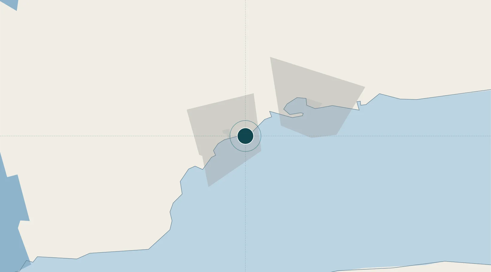
Location
Nearby Logistics Neighbours
Ports
- 1Pointe Noire26 km
- 2Sept Iles34 km
- 3Baie Comeau132 km
- 4Matane142 km
- 5Gaspe213 km
Cities
- 1Pointe Noire25 km
- 2La Relance27 km
- 3Sept-Iles34 km
- 4Sainte-Anne-des-Monts104 km
- 5Cap-Chat106 km
Airports
- 1Sept-Îles Airport43 km
- 2Matane Airport140 km
- 3Baie-Comeau Airport143 km
- 4Port-Menier Airport180 km
- 5Mont Joli Airport189 km
Trade Zones
- 1FTZ No. 179 Madawaska327 km
- 2Québec City FTZ485 km
- 3Saint John532 km
- 4FTZ No. 058 Bangor601 km
- 5Cape Breton Regional Municipality Foreign Trade Zone621 km
DatabookThe Record of Consolidated Knowledge
Canada beyond logistics?