Transport Functions
Port
Hub Profile
Region
NL
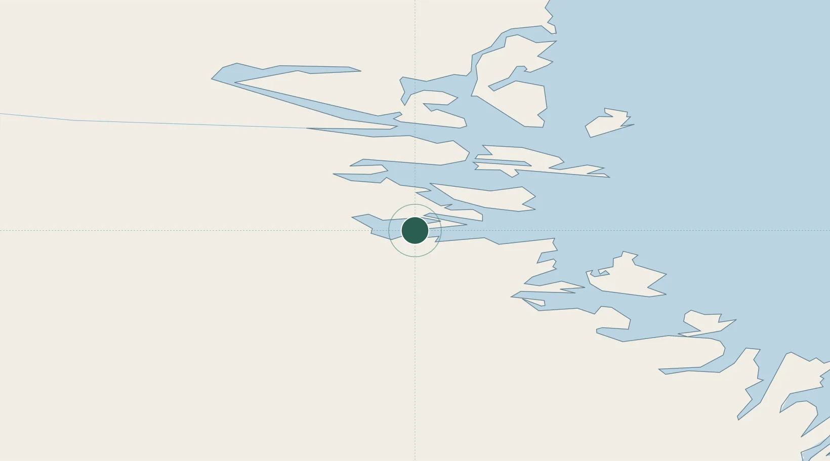
Location
Nearby Logistics Neighbours
Cities
- 1Nain35 km
- 2Edwards Cove76 km
- 3Hopedale135 km
- 4Hebron222 km
- 5Adlavik237 km
Ports
- 1Nain35 km
- 2Goose Bay336 km
- 3Blanc Sablon620 km
- 4Havre St Pierre679 km
- 5St Anthony681 km
Airports
- 1Nain Airport35 km
- 2Natuashish Airport56 km
- 3Hopedale Airport135 km
- 4Postville Airport198 km
- 5Makkovik Airport212 km
Trade Zones
- 1Crossroads Business Park948 km
- 2FTZ No. 179 Madawaska1092 km
- 3Cape Breton Regional Municipality Foreign Trade Zone1124 km
- 4Québec City FTZ1231 km
- 5Saint John1255 km
DatabookThe Record of Consolidated Knowledge
Canada beyond logistics?