Channel & Berth Profile
Pilotage, Tugs & Services
Pilotage compulsoryNO
Pilotage availableYES
Tug assistanceNO
Potable waterYES
Diesel bunkersYES
MedicalYES
Garbage disposalYES
Facilities & Capabilities
Container—
Ro-RoYES
Liquid bulkYES
Dry bulk—
Oil terminal—
Break bulkYES
Dry dock—
RepairsNO
BunkeringYES
Rail linkYES
Dangerous cargo—
ISPS securityYES
Harbour Specifications
Harbour size
Very Small
Harbour type
Coastal (Natural)
Shelter
Poor
Water body
Labrador Sea; North Atlantic Ocean
Tidal range
0.5 m
Pilotage
No
Liner Connectivity
8.4
PLSCI
Port Liner Shipping Connectivity Index for Goose Bay, as published by UNCTAD for the latest available quarter. Higher values indicate stronger scheduled liner-shipping integration.
Shown relative to the highest per-port PLSCI in the dataset (1,657.9).
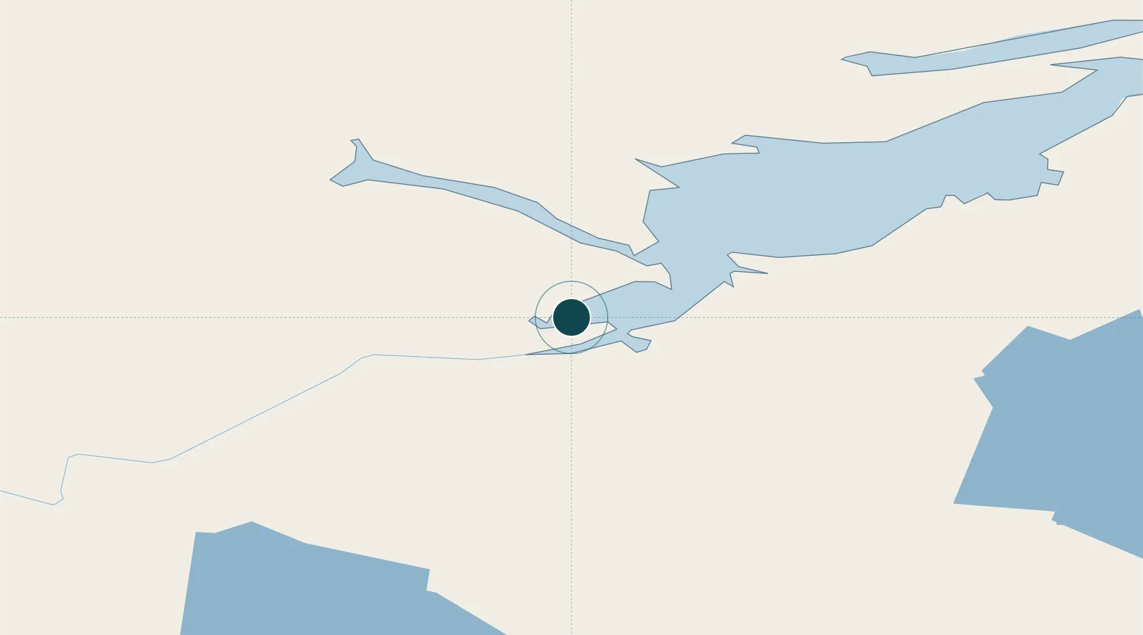
Location
Nearby Logistics Neighbours
Ports
- 1Blanc Sablon305 km
- 2Nain365 km
- 3St Anthony391 km
- 4Roddickton398 km
- 5Havre St Pierre416 km
Cities
- 1Drogheda Premiere Periclase152 km
- 2Adlavik195 km
- 3Hopedale232 km
- 4Saint-Augustin262 km
- 5L'Anse-au-Loup312 km
Airports
- 1Goose Bay Airport10 km
- 2Rigolet Airport151 km
- 3Postville Airport175 km
- 4Makkovik Airport204 km
- 5Cartwright Airport218 km
Trade Zones
- 1Crossroads Business Park633 km
- 2Cape Breton Regional Municipality Foreign Trade Zone801 km
- 3FTZ No. 179 Madawaska884 km
- 4Saint John991 km
- 5Halifax Gateway998 km
DatabookThe Record of Consolidated Knowledge
Canada beyond logistics?