Transport Functions
Port
Hub Profile
Region
LH
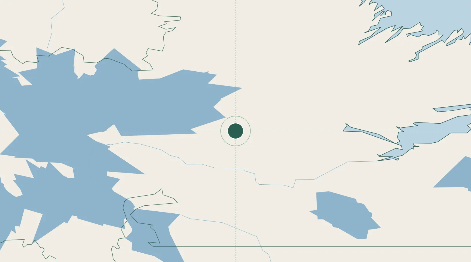
Location
Nearby Logistics Neighbours
Cities
- 1Goose Bay159 km
- 2Hopedale243 km
- 3Adlavik269 km
- 4Voisey's Bay285 km
- 5Nain320 km
Ports
- 1Goose Bay152 km
- 2Nain320 km
- 3Havre St Pierre394 km
- 4Blanc Sablon445 km
- 5Sept Iles472 km
Airports
- 1Churchill Falls Airport106 km
- 2Goose Bay Airport145 km
- 3Postville Airport221 km
- 4Hopedale Airport243 km
- 5Natuashish Airport259 km
Trade Zones
- 1Crossroads Business Park765 km
- 2FTZ No. 179 Madawaska825 km
- 3Cape Breton Regional Municipality Foreign Trade Zone849 km
- 4Saint John973 km
- 5Québec City FTZ984 km
DatabookThe Record of Consolidated Knowledge
Ireland beyond logistics?