Medium airport · Canada
Kuujjuaq AirportCYVP
58.0961°, -68.4269°
6,000 ft
Longest runway
2
Runways
129 ft
Elevation
Runway & Layout

Radio Frequencies
A/G
122.2 MHz
MF
CNTR
135.1 MHz
MONTREAL CNTR
INFO
122.2 MHz
ARPT RDO
RCO
123.55 MHz
QUEBEC RDO
Navaids
YVP VOR-DME Kujack 112.50 MHz
Runways · 2
| Runway | Dimensions | Surface | True heading | Lit |
|---|---|---|---|---|
| 07/25 | 6,000 × 150ft | Asphalt | 043° | ✓ |
| 13/31 | 5,000 × 150ft | Gravel | 103° | ✓ |
Airport Specifications
IATA code
YVP
ICAO code
CYVP
Airport class
Medium airport
Scheduled service
Yes
Runway surface
Asphalt
Served city
Kuujjuaq
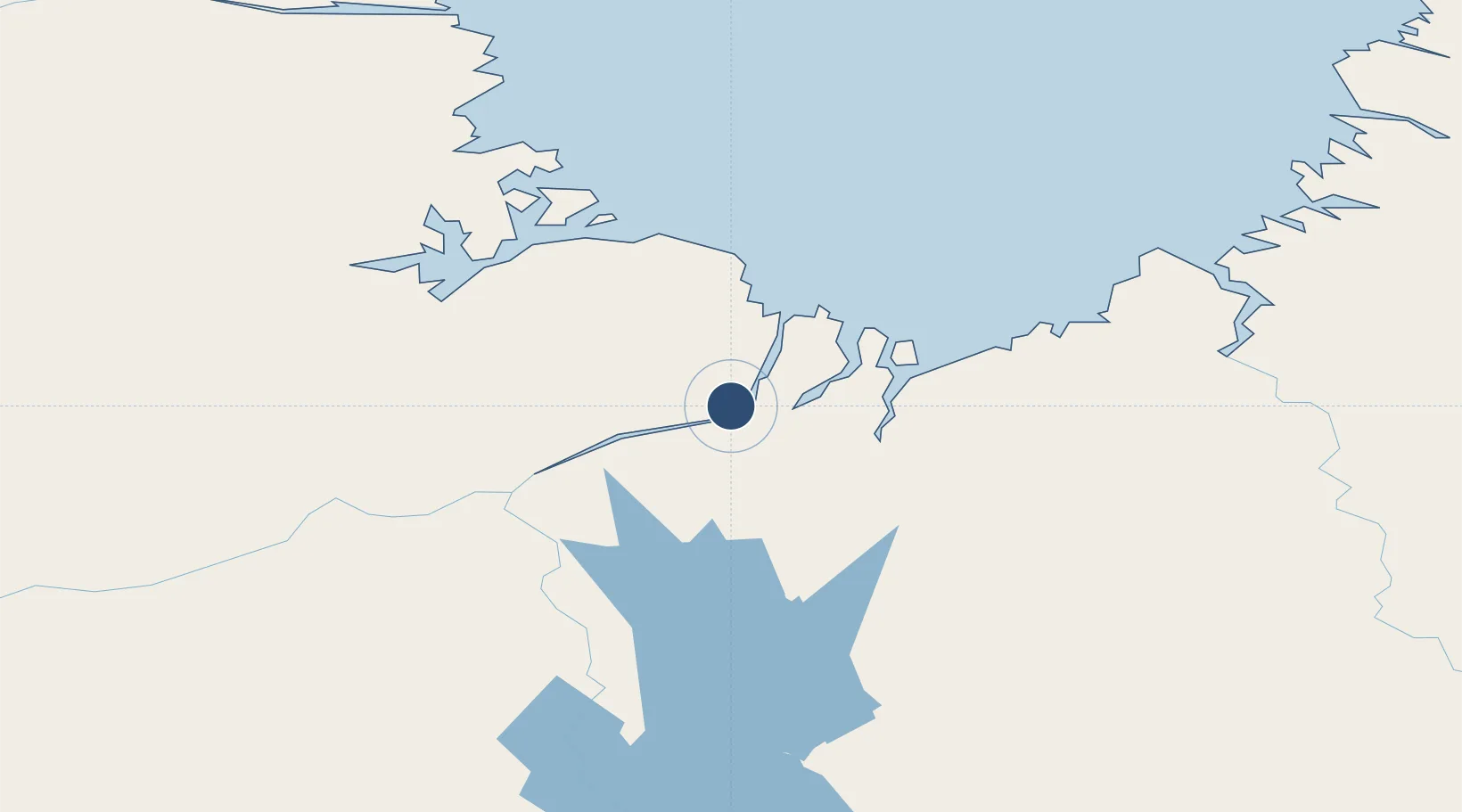
Location
Nearby Logistics Neighbours
Airports
- 1Tasiujaq Airport110 km
- 2Aupaluk Airport150 km
- 3Kangiqsualujjuaq (Georges River) Airport157 km
- 4Kangirsuk Airport233 km
- 5Quaqtaq Airport335 km
Cities
- 1Kuujjuaq2 km
- 2Seven Islands Bay307 km
- 3Hebron340 km
- 4Edwards Cove381 km
- 5Nain440 km
Ports
- 1Nain440 km
- 2Deception Bay568 km
- 3Goose Bay731 km
- 4Sept Iles888 km
- 5Pointe Noire891 km
Trade Zones
- 1FTZ No. 179 Madawaska1203 km
- 2Québec City FTZ1267 km
- 3Crossroads Business Park1364 km
- 4Cape Breton Regional Municipality Foreign Trade Zone1424 km
- 5Saint John1435 km
DatabookThe Record of Consolidated Knowledge
Canada beyond logistics?