Small airport · Canada
Churchill Falls AirportCZUM
53.5619°, -64.1064°
5,500 ft
Longest runway
1
Runways
1,442 ft
Elevation
Runway & Layout

Radio Frequencies
AWOS
122.55 MHz
ATF
123.5 MHz
CNTR
126.025 MHz
GANDER CNTR
RCO
123.25 MHz
HALIFAX RDO
Navaids
UM NDB Churchill Falls 233 kHz
Runways · 1
| Runway | Dimensions | Surface | True heading | Lit |
|---|---|---|---|---|
| 13/31 | 5,500 × 150ft | Asphalt | 104° | ✓ |
Airport Specifications
IATA code
ZUM
ICAO code
CZUM
Airport class
Small airport
Scheduled service
Yes
Runway surface
Asphalt
Served city
Churchill Falls
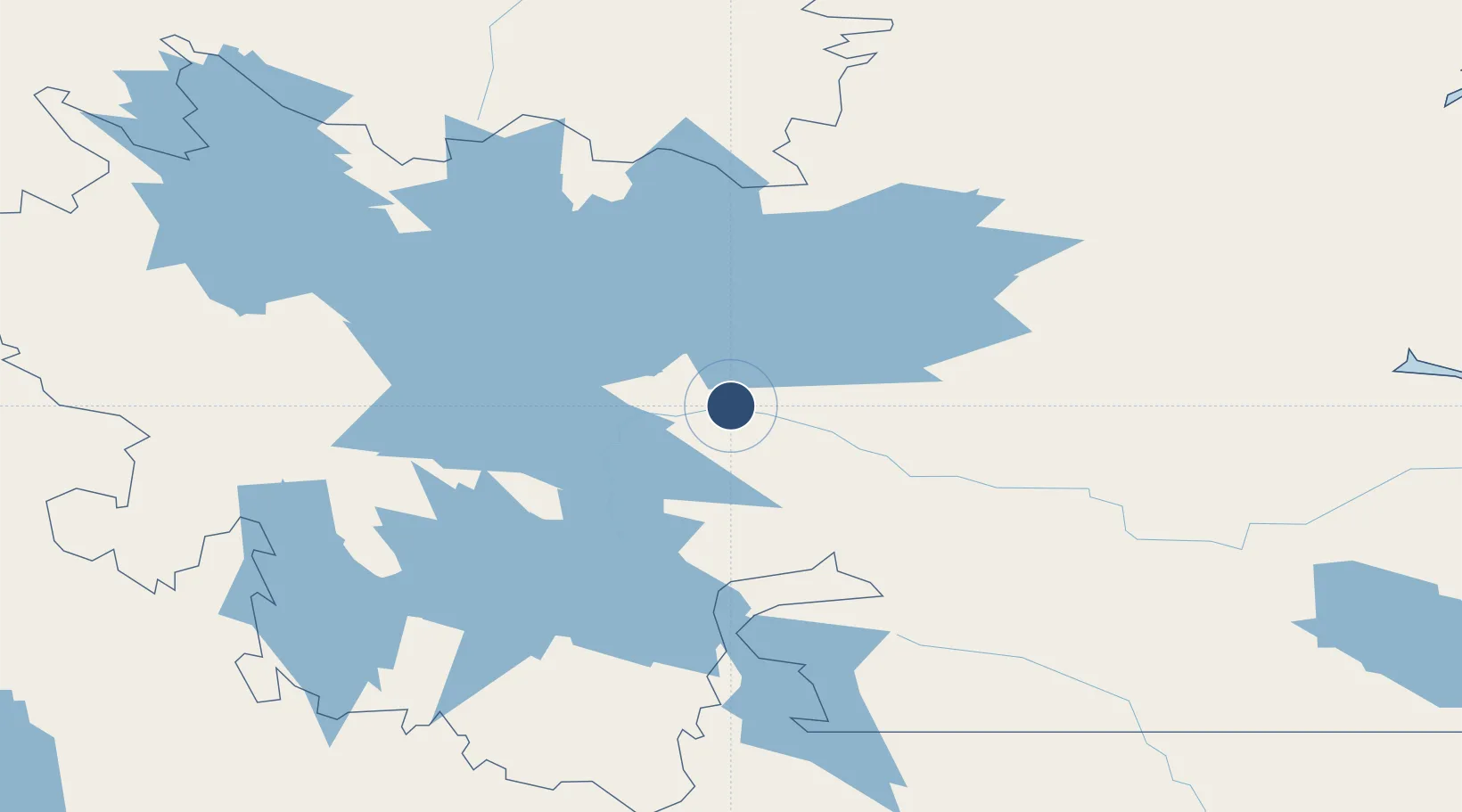
Location
Nearby Logistics Neighbours
Airports
- 1Wabush Airport197 km
- 2Schefferville Airport224 km
- 3Goose Bay Airport245 km
- 4Natuashish Airport322 km
- 5Hopedale Airport327 km
Cities
- 1Drogheda Premiere Periclase106 km
- 2Goose Bay261 km
- 3Hopedale327 km
- 4Voisey's Bay332 km
- 5Nain366 km
Ports
- 1Goose Bay253 km
- 2Nain366 km
- 3Havre St Pierre372 km
- 4Sept Iles405 km
- 5Pointe Noire411 km
Trade Zones
- 1FTZ No. 179 Madawaska760 km
- 2Crossroads Business Park837 km
- 3Cape Breton Regional Municipality Foreign Trade Zone857 km
- 4Québec City FTZ904 km
- 5Saint John932 km
DatabookThe Record of Consolidated Knowledge
Canada beyond logistics?