Medium airport · Canada
Wabush AirportCYWK
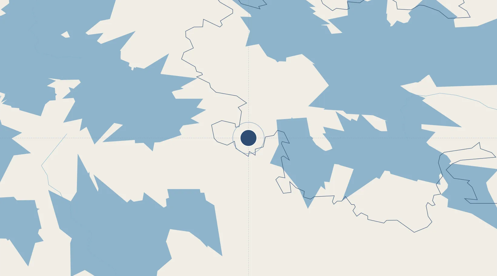
52.9219°, -66.8644°
6,002 ft
Longest runway
1
Runways
1,808 ft
Elevation
Runway & Layout

Radio Frequencies
A/D
132.25 MHz
MONTREAL CNTR
A/G
122 MHz
MF
RCO
126.7 MHz
QUEBEC RDO
RDO
122 MHz
Navaids
WK NDB Wabush 218 kHz
YWK VOR-DME Wabush 112.30 MHz
Runways · 1
| Runway | Dimensions | Surface | True heading | Lit |
|---|---|---|---|---|
| 18/36 | 6,002 × 150ft | Asphalt | 157° | ✓ |
Airport Specifications
IATA code
YWK
ICAO code
CYWK
Airport class
Medium airport
Scheduled service
Yes
Runway surface
Asphalt
Served city
Wabush
Location
Nearby Logistics Neighbours
Airports
- 1Churchill Falls Airport197 km
- 2Schefferville Airport210 km
- 3Sept-Îles Airport303 km
- 4Havre-Saint-Pierre Airport370 km
- 5Port-Menier Airport387 km
Cities
- 1Drogheda Premiere Periclase302 km
- 2Sept-Iles305 km
- 3Pointe Noire309 km
- 4La Relance310 km
- 5Port-Cartier323 km
Ports
- 1Sept Iles305 km
- 2Pointe Noire308 km
- 3Port Cartier321 km
- 4Havre St Pierre374 km
- 5Baie Comeau420 km
Trade Zones
- 1FTZ No. 179 Madawaska636 km
- 2Québec City FTZ747 km
- 3Saint John852 km
- 4Cape Breton Regional Municipality Foreign Trade Zone870 km
- 5FTZ No. 058 Bangor913 km
DatabookThe Record of Consolidated Knowledge
Canada beyond logistics?