Transport Functions
Port
Airport
Hub Profile
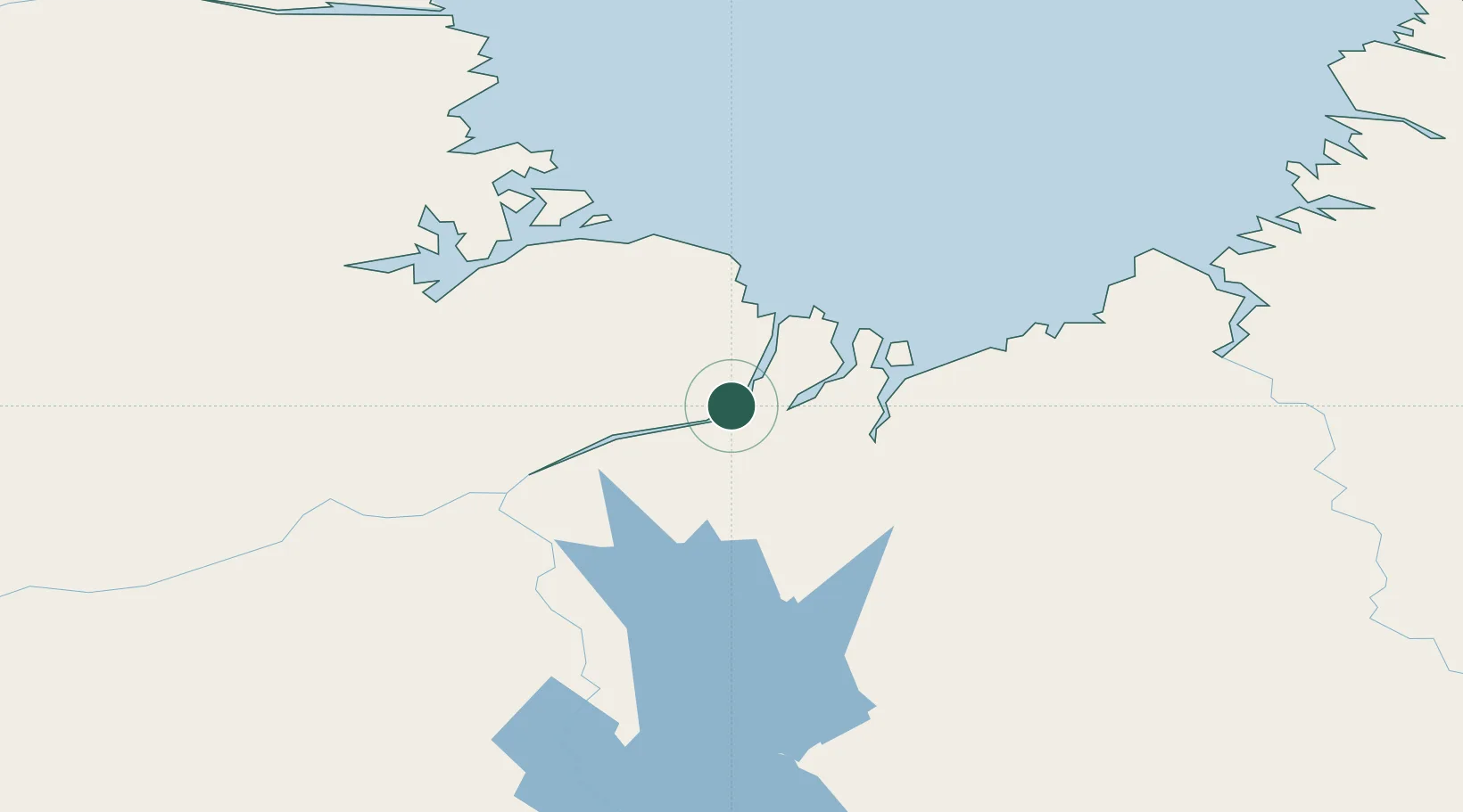
Place type
Populated place
Region
Quebec
Population
2,668
Time zone
America/Toronto
Elevation
16 m
Location
Nearby Logistics Neighbours
Cities
- 1Seven Islands Bay305 km
- 2Hebron339 km
- 3Edwards Cove380 km
- 4Nain438 km
- 5Voisey's Bay445 km
Ports
- 1Nain438 km
- 2Deception Bay569 km
- 3Goose Bay730 km
- 4Sept Iles888 km
- 5Pointe Noire891 km
Airports
- 1Kuujjuaq Airport2 km
- 2Tasiujaq Airport111 km
- 3Aupaluk Airport150 km
- 4Kangiqsualujjuaq (Georges River) Airport156 km
- 5Kangirsuk Airport233 km
Trade Zones
- 1FTZ No. 179 Madawaska1203 km
- 2Québec City FTZ1268 km
- 3Crossroads Business Park1363 km
- 4Cape Breton Regional Municipality Foreign Trade Zone1424 km
- 5Saint John1435 km
DatabookThe Record of Consolidated Knowledge
Canada beyond logistics?