Small airport · Canada
Nain AirportCYDP
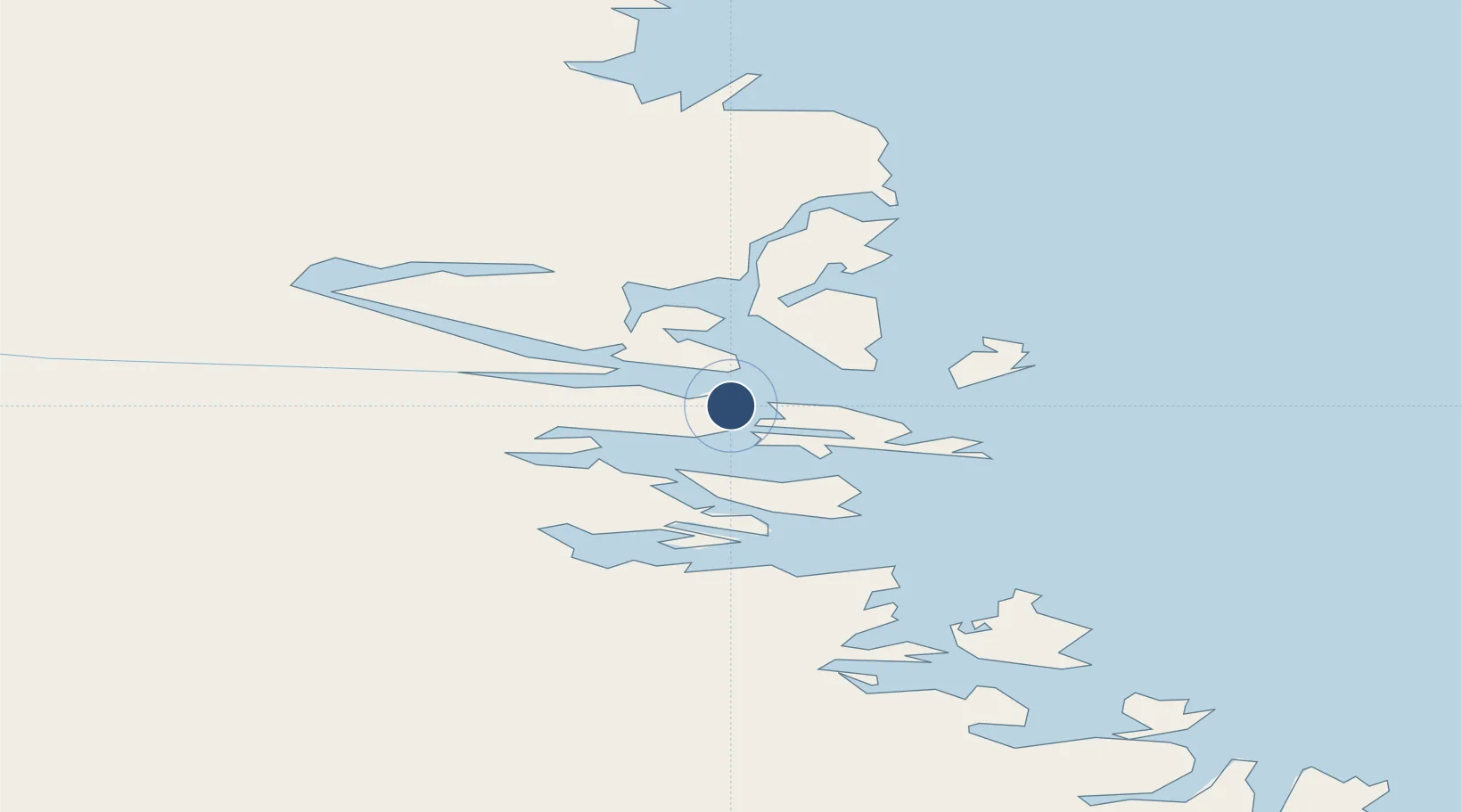
56.5508°, -61.6822°
2,000 ft
Longest runway
1
Runways
22 ft
Elevation
Runway & Layout

Navaids
YDP NDB Nain 247 kHz
Runways · 1
| Runway | Dimensions | Surface | True heading | Lit |
|---|---|---|---|---|
| 06/24 | 2,000 × 75ft | GRAVEL | — | — |
Airport Specifications
IATA code
YDP
ICAO code
CYDP
Airport class
Small airport
Scheduled service
Yes
Runway surface
GRAVEL
Served city
Nain
Location
Nearby Logistics Neighbours
Airports
- 1Natuashish Airport77 km
- 2Hopedale Airport152 km
- 3Postville Airport218 km
- 4Makkovik Airport226 km
- 5Rigolet Airport333 km
Cities
- 1Nain0 km
- 2Voisey's Bay35 km
- 3Edwards Cove59 km
- 4Hopedale153 km
- 5Hebron192 km
Ports
- 1Nain0 km
- 2Goose Bay365 km
- 3Blanc Sablon643 km
- 4St Anthony701 km
- 5Havre St Pierre714 km
Trade Zones
- 1Crossroads Business Park970 km
- 2FTZ No. 179 Madawaska1126 km
- 3Cape Breton Regional Municipality Foreign Trade Zone1156 km
- 4Québec City FTZ1264 km
- 5Saint John1290 km
DatabookThe Record of Consolidated Knowledge
Canada beyond logistics?