Runway & Layout

Airport Specifications
IATA code
YNP
ICAO code
CNH2
Airport class
Small airport
Scheduled service
Yes
Served city
Natuashish
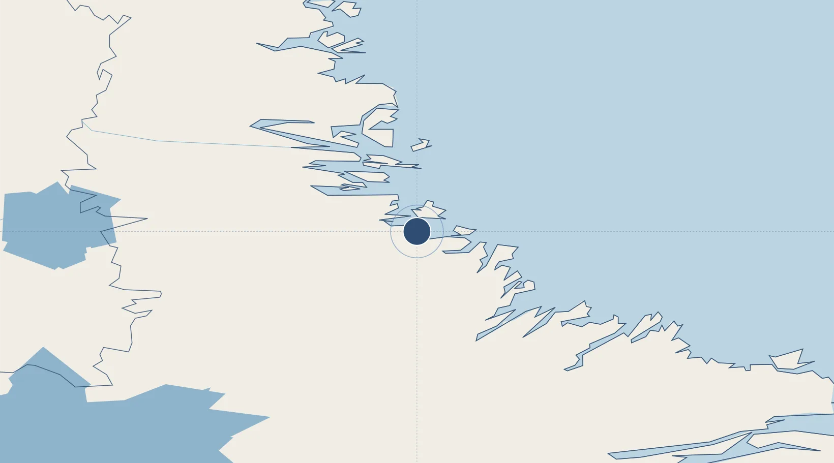
Location
Nearby Logistics Neighbours
Airports
- 1Nain Airport77 km
- 2Hopedale Airport79 km
- 3Postville Airport142 km
- 4Makkovik Airport156 km
- 5Rigolet Airport260 km
Cities
- 1Voisey's Bay56 km
- 2Nain77 km
- 3Hopedale80 km
- 4Edwards Cove130 km
- 5Adlavik181 km
Ports
- 1Nain77 km
- 2Goose Bay289 km
- 3Blanc Sablon567 km
- 4St Anthony626 km
- 5Havre St Pierre652 km
Trade Zones
- 1Crossroads Business Park894 km
- 2FTZ No. 179 Madawaska1078 km
- 3Cape Breton Regional Municipality Foreign Trade Zone1084 km
- 4Québec City FTZ1226 km
- 5Saint John1232 km
DatabookThe Record of Consolidated Knowledge
Canada beyond logistics?