Transport Functions
Port
Road
Airport
Hub Profile
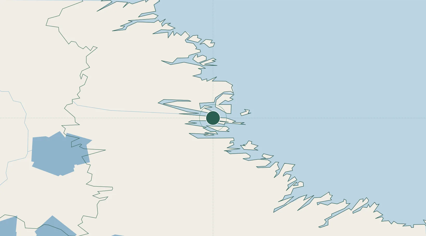
Place type
Locality
Region
Newfoundland and Labrador
Population
1,204
Time zone
America/Goose_Bay
Elevation
12 m
Location
Nearby Logistics Neighbours
Cities
- 1Voisey's Bay35 km
- 2Edwards Cove59 km
- 3Hopedale153 km
- 4Hebron192 km
- 5Adlavik251 km
Ports
- 1Goose Bay365 km
- 2Blanc Sablon643 km
- 3St Anthony701 km
- 4Havre St Pierre714 km
- 5Roddickton729 km
Airports
- 1Nain Airport0 km
- 2Natuashish Airport77 km
- 3Hopedale Airport152 km
- 4Postville Airport218 km
- 5Makkovik Airport226 km
Trade Zones
- 1Crossroads Business Park970 km
- 2FTZ No. 179 Madawaska1126 km
- 3Cape Breton Regional Municipality Foreign Trade Zone1156 km
- 4Québec City FTZ1264 km
- 5Saint John1290 km
DatabookThe Record of Consolidated Knowledge
Canada beyond logistics?