Small airport · Canada
Clyde River AirportCYCY
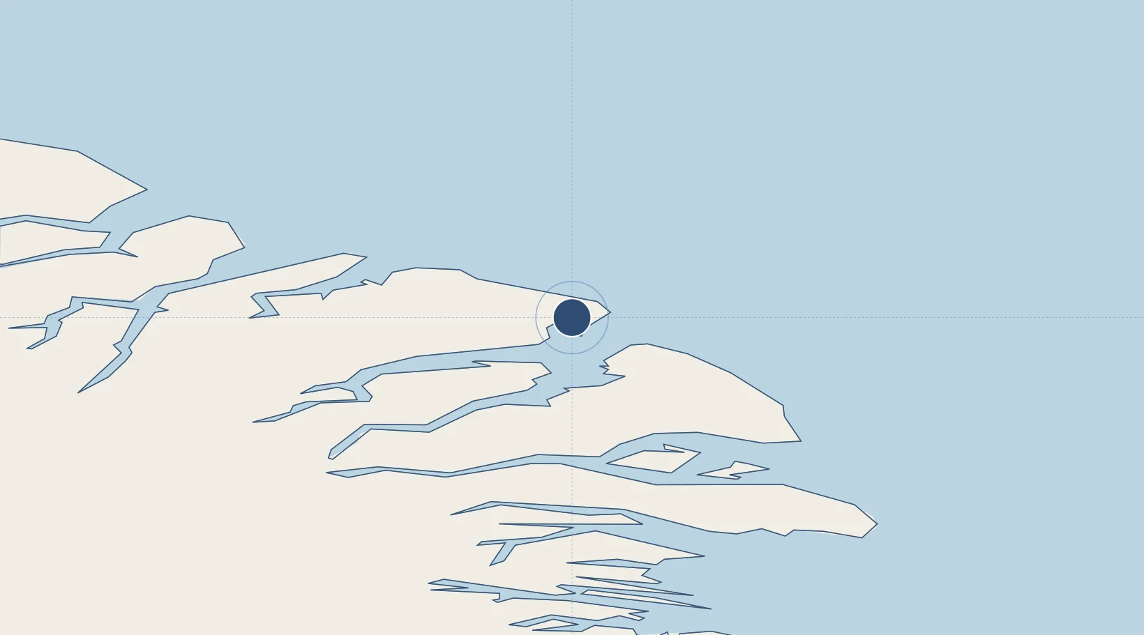
70.4861°, -68.5167°
3,500 ft
Longest runway
1
Runways
87 ft
Elevation
Runway & Layout

Radio Frequencies
AWOS
124.6 MHz
ATF
122.1 MHz
MANDATORY FREQ
RDO
122.1 MHz
ARPT RDO
Navaids
YCY NDB Clyde River 256 kHz
Runways · 1
| Runway | Dimensions | Surface | True heading | Lit |
|---|---|---|---|---|
| 02T/20T | 3,500 × 100ft | Gravel | 018° | ✓ |
Airport Specifications
IATA code
YCY
ICAO code
CYCY
Airport class
Small airport
Scheduled service
Yes
Runway surface
Gravel
Served city
Clyde River
Location
Nearby Logistics Neighbours
Airports
- 1Qikiqtarjuaq Airport372 km
- 2Pond Inlet Airport412 km
- 3Pangnirtung Airport496 km
- 4Savissivik Heliport625 km
- 5Pituffik Space Base672 km
Cities
- 1Milne Inlet Port470 km
- 2Igloolik522 km
- 3Kullorsuaq590 km
- 4Iqaluit751 km
- 5Grise Fiord798 km
Ports
- 1Pond Inlet383 km
- 2Kajalleq Upernavik497 km
- 3Pangnirtung497 km
- 4Qeqertarsuaq589 km
- 5Uummannaq605 km
Trade Zones
- 1Crossroads Business Park2505 km
- 2FTZ No. 179 Madawaska2580 km
- 3Québec City FTZ2635 km
- 4Cape Breton Regional Municipality Foreign Trade Zone2737 km
- 5Greater Montreal Free Zone Center2791 km
DatabookThe Record of Consolidated Knowledge
Canada beyond logistics?