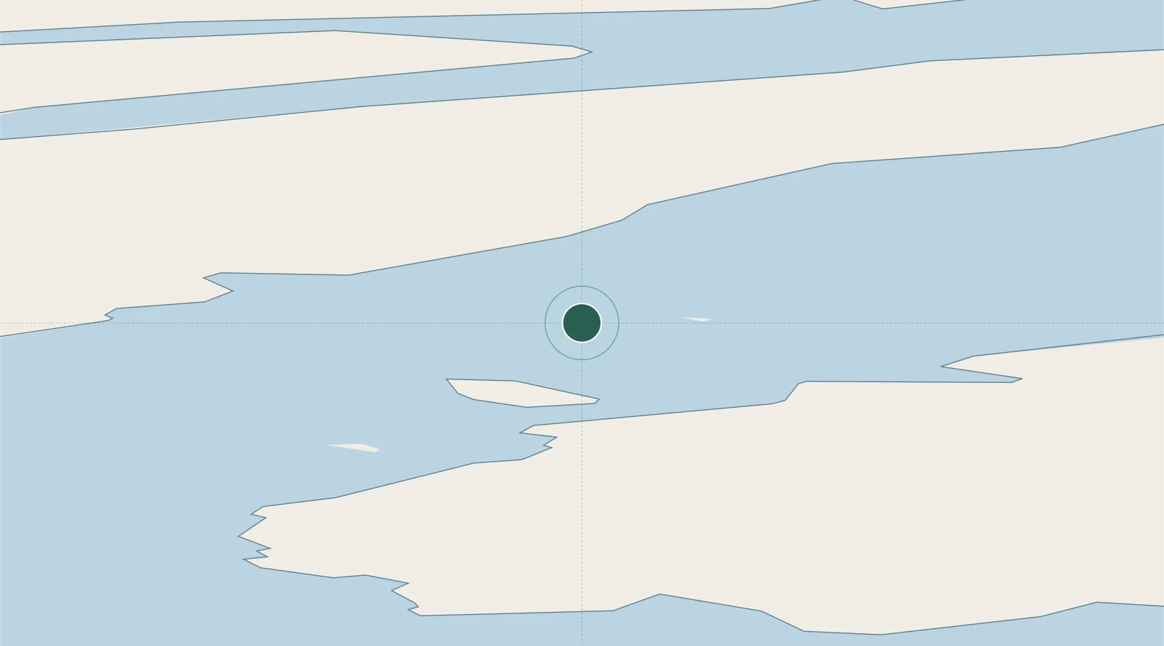
UN/LOCODE hub
XZSUU

Suursaq

80.8167°, -66.6333°
3
Transport functions

Transport Functions

Port
Airport
Multimodal
UN/LOCODE

Location

Location of XZSUU
Natural Earth 10m (public domain) · Qaasuitsup Kommunia · XZSUU · 80.82, -66.63GoogleOSMYandex

Nearby Logistics Neighbours

Cities
  1. 1Grise Fiord602 km
  2. 2Kullorsuaq726 km
  3. 3Arctic Bay973 km
  4. 4Milne Inlet Port1054 km
  5. 5Maarmorliik1144 km
Nearest neighbours — logibook spatial index (haversine) over the source coordinates
Ports
  1. 1Pituffik (Thule Air Base)479 km
  2. 2Pond Inlet930 km
  3. 3Kajalleq Upernavik1002 km
  4. 4Marmorilik1145 km
  5. 5Uummannaq1188 km
Nearest neighbours — logibook spatial index (haversine) over the source coordinates
Airports
  1. 1Alert Airport202 km
  2. 2Siorapaluk Heliport347 km
  3. 3Qaanaaq Airport374 km
  4. 4Pituffik Space Base479 km
  5. 5Savissivik Heliport535 km
Nearest neighbours — logibook spatial index (haversine) over the source coordinates
Trade Zones
  1. 1Crossroads Business Park3572 km
  2. 2Winnipegs Centreport Canada3611 km
  3. 3FTZ No. 179 Madawaska3730 km
  4. 4FTZ No. 259 Koochiching County3760 km
  5. 5Québec City FTZ3783 km
Nearest neighbours — logibook spatial index (haversine) over the source coordinates

All Sources

LocationsUN/LOCODE
UN/LOCODE — free
Portsthe NGA World Port Index
Public domain (US gov)
AirportsOurAirports
Public domain
Trade Zonesthe World Bank SEZ database
CC BY 4.0
Trade ZonesOpen Zone Map
CC BY
← locations