Diversified Zone · China

Hualin Economic Development Zone Active
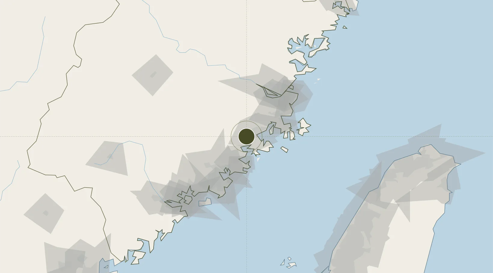
25.3952°, 118.9603°
2,640 ha
Zone area
18.1 km
Nearest port
43.8 km
Nearest airport

Gateway access

Nearest neighbours — logibook spatial index (haversine) over the source coordinates

Zone profile

Zone type
Diversified Zone
Open Zone Map
Region
Fujian
Open Zone Map
Status
Active
Open Zone Map
Management
Public
Open Zone Map
Operator
Hualin Economic Development Zone Management Committee
Open Zone Map
Legal framework
April 17, 2006 approved by the National Development and Reform Commission as a provincial economic development zone
Open Zone Map

Location

Location of ozm-860
Natural Earth 10m (public domain) · Fujian · ozm-860 · 25.40, 118.96GoogleOSMYandex

Nearby Logistics Neighbours

Ports
  1. 1Xiuyu18 km
  2. 2Quanzhou68 km
  3. 3Fuzhou84 km
  4. 4Zhangzhou114 km
  5. 5Xiamen138 km
Nearest neighbours — logibook spatial index (haversine) over the source coordinates
Airports
  1. 1Huian Air Base44 km
  2. 2Longtian Air Base54 km
  3. 3Fuzhou Air Base76 km
  4. 4Quanzhou Jinjiang International Airport76 km
  5. 5Fuzhou Zhuqi Heliport83 km
Nearest neighbours — logibook spatial index (haversine) over the source coordinates
Cities
  1. 1Xiuyu Pt18 km
  2. 2Quangang,Quanzhou29 km
  3. 3Jiangyin35 km
  4. 4Hui'an,Quanzhou40 km
  5. 5Xialong54 km
Nearest neighbours — logibook spatial index (haversine) over the source coordinates
Trade Zones
  1. 1Licheng Economic Development Zone14 km
  2. 2Meizhou Bay North Shore Economic Development Zone27 km
  3. 3Fuqing Export Processing Zone33 km
  4. 4Huian Economic Development Zone46 km
  5. 5Huidong Industrial Park46 km
Nearest neighbours — logibook spatial index (haversine) over the source coordinates
DatabookThe Record of Consolidated Knowledge
China beyond logistics?
Browse databook

All Sources

Trade ZonesOpen Zone Map
CC BY
Portsthe NGA World Port Index
Public domain (US gov)
AirportsOurAirports
Public domain
LocationsUN/LOCODE
UN/LOCODE — free
← China trade zones