Diversified Zone · China

Wuqiao Economic Development Zone Active
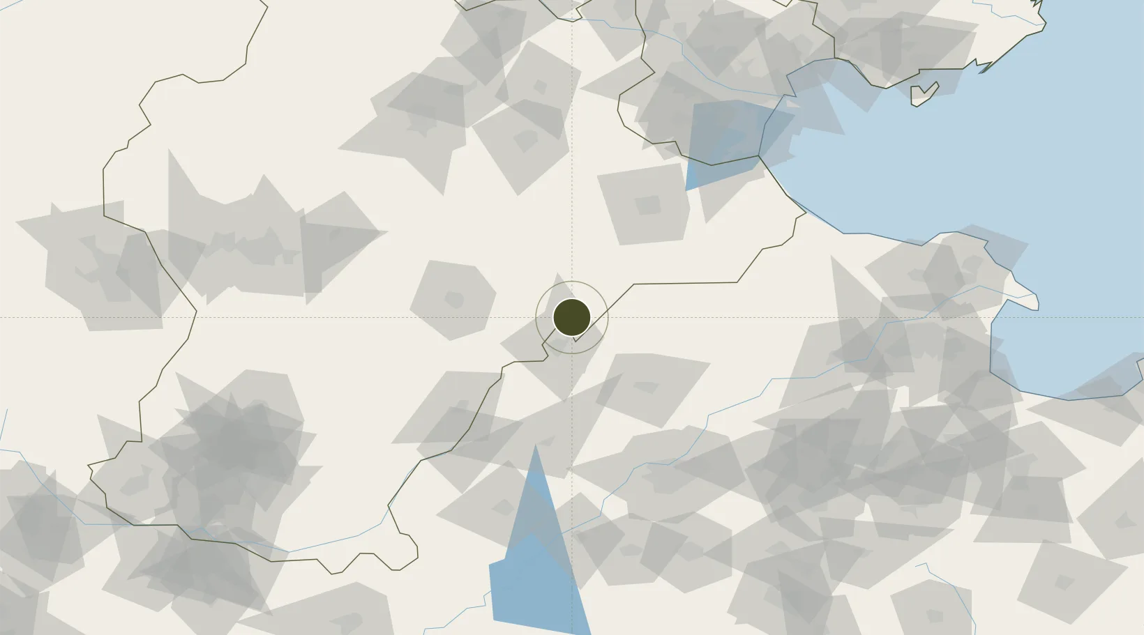
37.6299°, 116.4029°
711 ha
Zone area
194.1 km
Nearest port
29.6 km
Nearest airport

Gateway access

Nearest neighbours — logibook spatial index (haversine) over the source coordinates

Zone profile

Zone type
Diversified Zone
Open Zone Map
Region
Hebei
Open Zone Map
Status
Active
Open Zone Map
Management
Public
Open Zone Map
Operator
Wuqiao Economic Development Zone Management Committee
Open Zone Map
Legal framework
It was established in 1993 and implemented the "second start" in 2003. It is one of the first provincial-level economic and technological development zones approved by the provincial government.
Open Zone Map

Location

Location of ozm-598
Natural Earth 10m (public domain) · Hebei · ozm-598 · 37.63, 116.40GoogleOSMYandex

Nearby Logistics Neighbours

Ports
  1. 1Tianjin Xin Gang194 km
  2. 2Tangshan (Jingtang)287 km
  3. 3Longkou Gang342 km
  4. 4Rizhao377 km
  5. 5Qinhuangdao378 km
Nearest neighbours — logibook spatial index (haversine) over the source coordinates
Airports
  1. 1Jiugucheng Air Base30 km
  2. 2Cangxian Air Base98 km
  3. 3Jinan Yaoqiang International Airport112 km
  4. 4Tangguantun Air Base141 km
  5. 5Shijiazhuang Zhengding International Airport166 km
Nearest neighbours — logibook spatial index (haversine) over the source coordinates
Cities
  1. 1Dezhou24 km
  2. 2Leling73 km
  3. 3Cangzhou85 km
  4. 4Liaocheng106 km
  5. 5Pingdu107 km
Nearest neighbours — logibook spatial index (haversine) over the source coordinates
DatabookThe Record of Consolidated Knowledge
China beyond logistics?
Browse databook

All Sources

Trade ZonesOpen Zone Map
CC BY
Portsthe NGA World Port Index
Public domain (US gov)
AirportsOurAirports
Public domain
LocationsUN/LOCODE
UN/LOCODE — free
← China trade zones