Transport Functions
Multimodal
Hub Profile
Place type
District seat
Region
Shandong
Population
542,234
Time zone
Asia/Shanghai
Elevation
59 m
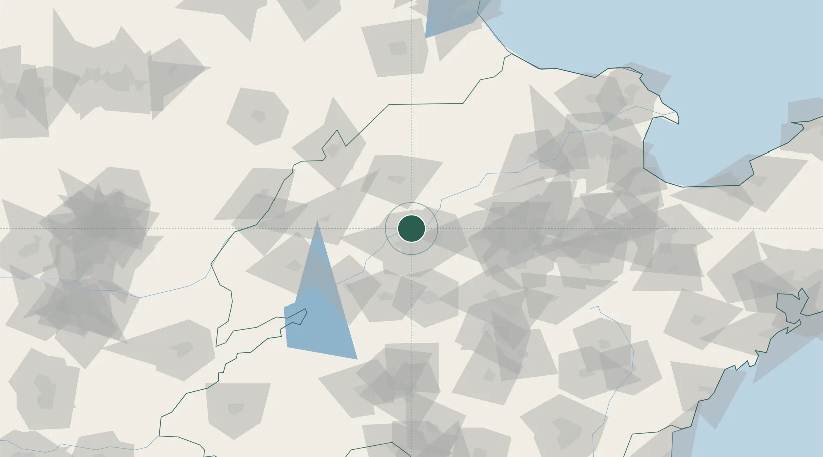
Location
Nearby Logistics Neighbours
Ports
- 1Tianjin Xin Gang254 km
- 2Rizhao280 km
- 3Lanshan286 km
- 4Qingdao Gang305 km
- 5Longkou Gang307 km
Airports
- 1Jinan Yaoqiang International Airport22 km
- 2Guodu Air Base104 km
- 3Jiugucheng Air Base110 km
- 4Jining Da'an Airport128 km
- 5Jining Qufu Airport175 km
DatabookThe Record of Consolidated Knowledge
China beyond logistics?