Large airport · China
Kunming Changshui International AirportZPPP
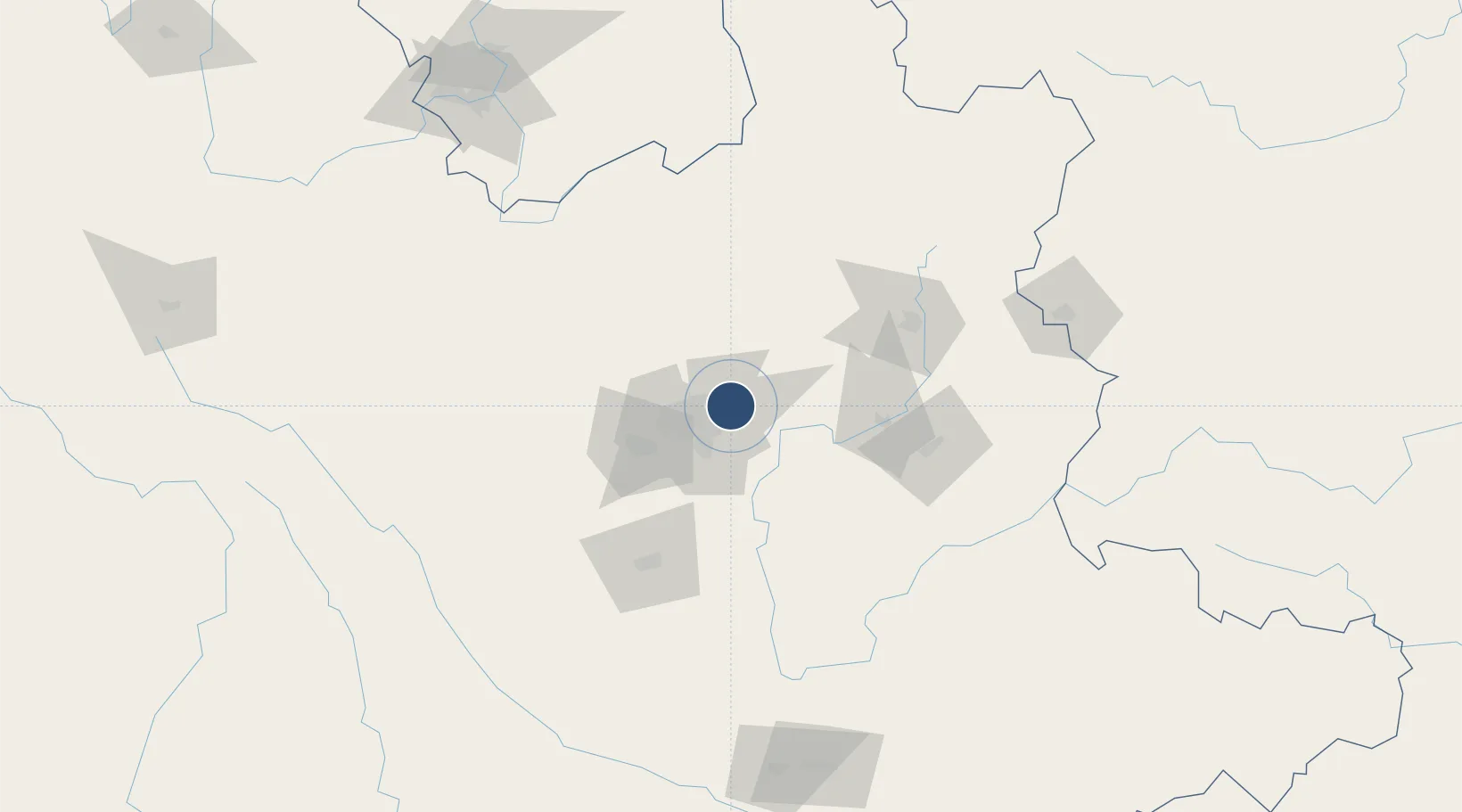
25.1103°, 102.9367°
14,764 ft
Longest runway
2
Runways
6,903 ft
Elevation
Runway & Layout

Radio Frequencies
ATIS
128.45 MHz
TWR
118.1 MHz
KUNMING TWR
TWR
118.85 MHz
GND
121.85 MHz
KUNMING GND
APP
124.22 MHz
KUNMING APP
Navaids
KMG VOR-DME Kunming 112.90 MHz
LR NDB Kunming 225 kHz
QB NDB Hunshuitang 443 kHz
Runways · 2
| Runway | Dimensions | Surface | True heading | Lit |
|---|---|---|---|---|
| 04/22 | 14,764 × 197ft | Asphalt | 039° | ✓ |
| 03/21 | 13,123 × 148ft | Concrete | 039° | ✓ |
Airport Specifications
IATA code
KMG
ICAO code
ZPPP
Airport class
Large airport
Scheduled service
Yes
Runway surface
Asphalt
Served city
Kunming
Location
Nearby Logistics Neighbours
Airports
- 1Luliang Air Base72 km
- 2Yuanmou Air Base127 km
- 3Wenshan Air Base179 km
- 4Honghe Mengzi Airport / Mengzi Air Base195 km
- 5Panzhihua Bao'anying Airport196 km
Cities
- 1Anning51 km
- 2Yunnan Tengjun International Land Port Logistics Center56 km
- 3Yuxi95 km
- 4Qujing95 km
- 5Panzhihuazhan203 km
Ports
- 1Hai Phong604 km
- 2Hon Gai627 km
- 3Cam Pha641 km
- 4Fang-Cheng667 km
- 5Qinzhou688 km
DatabookThe Record of Consolidated Knowledge
China beyond logistics?