Small airport · Canada
Bearskin Lake AirportCNE3
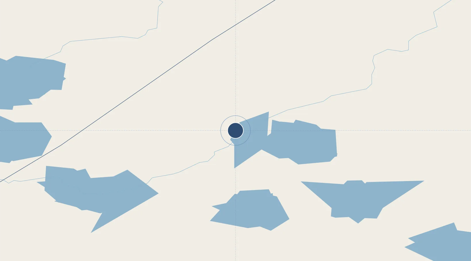
53.9656°, -91.0272°
3,500 ft
Longest runway
1
Runways
800 ft
Elevation
Runway & Layout

Runways · 1
| Runway | Dimensions | Surface | True heading | Lit |
|---|---|---|---|---|
| 07/25 | 3,500 × 100ft | GRVL | — | — |
Airport Specifications
IATA code
XBE
ICAO code
CNE3
Airport class
Small airport
Scheduled service
Yes
Runway surface
GRVL
Served city
Bearskin Lake
Location
Nearby Logistics Neighbours
Airports
- 1Muskrat Dam Airport76 km
- 2Big Trout Lake Airport76 km
- 3Sachigo Lake Airport77 km
- 4Wapekeka Airport96 km
- 5Round Lake (Weagamow Lake) Airport115 km
Cities
- 1Island Lake239 km
- 2Lansdowne286 km
- 3Red Lake373 km
- 4Split Lake411 km
- 5Pine Falls518 km
Ports
- 1Churchill570 km
- 2Thunder Bay631 km
- 3Heron Bay675 km
- 4Grand Marais693 km
- 5Two Harbors774 km
Trade Zones
- 1Winnipegs Centreport Canada616 km
- 2FTZ No. 259 Koochiching County673 km
- 3FTZ No. 103 Grand Forks798 km
- 4FTZ No. 051 Duluth805 km
- 5FTZ No. 267 Fargo895 km
DatabookThe Record of Consolidated Knowledge
Canada beyond logistics?