Export Processing Zone · Nigeria

Oluyole Free Trade Zone Inactive
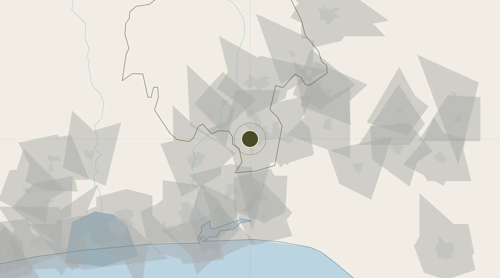
7.3566°, 3.8496°
1,374 ha
Zone area
117.4 km
Nearest port
14.2 km
Nearest airport

Gateway access

Nearest neighbours — logibook spatial index (haversine) over the source coordinates

Zone profile

Zone type
Export Processing Zone
Open Zone Map
Region
Oyo
Open Zone Map
Status
Inactive
Open Zone Map
Management
Public
Open Zone Map
Operator
Nigerian Export Processing Zones Authority
Open Zone Map
Legal framework
Section 10 (4) of the Nigeria Export Processing Zones Act No 63 of 1992
Open Zone Map

Location

Location of ozm-2966
Natural Earth 10m (public domain) · Oyo · ozm-2966 · 7.36, 3.85GoogleOSMYandex

Nearby Logistics Neighbours

Ports
  1. 1Lagos117 km
  2. 2Tin Can Island125 km
  3. 3Cotonou192 km
  4. 4Ukpokiti Marine Terminal211 km
  5. 5Koko234 km
Nearest neighbours — logibook spatial index (haversine) over the source coordinates
Airports
  1. 1Ibadan Airport14 km
  2. 2Murtala Muhammed International Airport104 km
  3. 3General Tunde Idiagbon International Airport140 km
  4. 4Akure Airport161 km
  5. 5Cotonou Cadjehoun International Airport196 km
Nearest neighbours — logibook spatial index (haversine) over the source coordinates
Cities
  1. 1Egbeda22 km
  2. 2Alaba29 km
  3. 3Balogun60 km
  4. 4Idi Oro66 km
  5. 5Adekunle82 km
Nearest neighbours — logibook spatial index (haversine) over the source coordinates
Trade Zones
  1. 1Ogun Guangdong Free Trade Zone59 km
  2. 2Living Spring Free Trade Zone92 km
  3. 3Ogogoro Industrial Park96 km
  4. 4Lekki Free Zone101 km
  5. 5Quits Aviation Services Zone102 km
Nearest neighbours — logibook spatial index (haversine) over the source coordinates
DatabookThe Record of Consolidated Knowledge
Nigeria beyond logistics?
Browse databook

All Sources

Trade ZonesOpen Zone Map
CC BY
Portsthe NGA World Port Index
Public domain (US gov)
AirportsOurAirports
Public domain
LocationsUN/LOCODE
UN/LOCODE — free
← Nigeria trade zones