Diversified Zone · China

Qingzhou Economic Development Zone Active
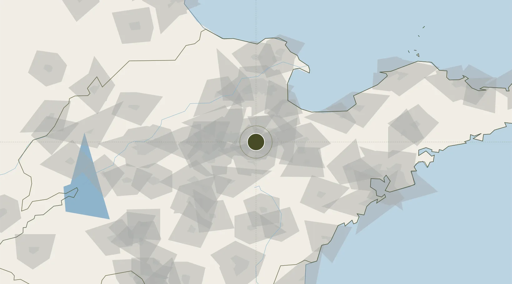
36.7274°, 118.5259°
7,020 ha
Zone area
173.9 km
Nearest port
53.6 km
Nearest airport

Gateway access

Nearest neighbours — logibook spatial index (haversine) over the source coordinates

Zone profile

Zone type
Diversified Zone
Open Zone Map
Region
Shandong
Open Zone Map
Status
Active
Open Zone Map
Management
Public
Open Zone Map
Operator
Qingzhou Economic Development Zone Management Committee
Open Zone Map
Legal framework
Founded in July 2003, it is a provincial economic development zone approved by shandong Provincial government
Open Zone Map

Location

Location of ozm-975
Natural Earth 10m (public domain) · Shandong · ozm-975 · 36.73, 118.53GoogleOSMYandex

Nearby Logistics Neighbours

Ports
  1. 1Qingdao Gang174 km
  2. 2Rizhao176 km
  3. 3Longkou Gang185 km
  4. 4Lanshan198 km
  5. 5Lianyungang237 km
Nearest neighbours — logibook spatial index (haversine) over the source coordinates
Airports
  1. 1Weifang Nanyuan Airport54 km
  2. 2Dongying Shengli Airport89 km
  3. 3Zhucheng Air Base113 km
  4. 4Guodu Air Base114 km
  5. 5Jinan Yaoqiang International Airport118 km
Nearest neighbours — logibook spatial index (haversine) over the source coordinates
Cities
  1. 1Linzi25 km
  2. 2Zibo43 km
  3. 3Anqiu68 km
  4. 4Dongying78 km
  5. 5Weifang81 km
Nearest neighbours — logibook spatial index (haversine) over the source coordinates
Trade Zones
  1. 1Linqu Economic Development Zone22 km
  2. 2Shandong Qilu Chemical Industrial Park25 km
  3. 3Changle Economic Development Zone31 km
  4. 4Zhangdian Economic Development Zone32 km
  5. 5Linzi Economic Development Zone34 km
Nearest neighbours — logibook spatial index (haversine) over the source coordinates
DatabookThe Record of Consolidated Knowledge
China beyond logistics?
Browse databook

All Sources

Trade ZonesOpen Zone Map
CC BY
Portsthe NGA World Port Index
Public domain (US gov)
AirportsOurAirports
Public domain
LocationsUN/LOCODE
UN/LOCODE — free
← China trade zones