Transport Functions
Rail
Road
Multimodal
Hub Profile
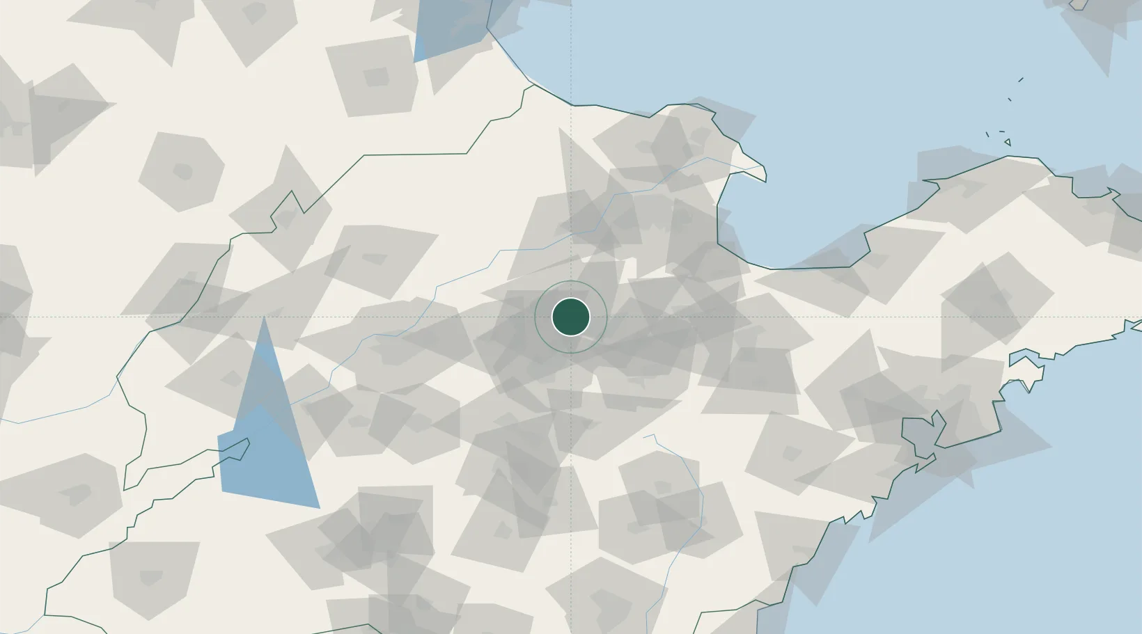
Place type
Populated place
Region
Shandong
Population
3,129,228
Time zone
Asia/Shanghai
Elevation
51 m
Logistics facilities
2
Location
Nearby Logistics Neighbours
Ports
- 1Rizhao211 km
- 2Longkou Gang215 km
- 3Qingdao Gang217 km
- 4Lanshan229 km
- 5Tianjin Xin Gang237 km
Airports
- 1Jinan Yaoqiang International Airport75 km
- 2Weifang Nanyuan Airport97 km
- 3Dongying Shengli Airport97 km
- 4Guodu Air Base102 km
- 5Zhucheng Air Base153 km
DatabookThe Record of Consolidated Knowledge
China beyond logistics?