Transport Functions
Port
Rail
Road
Airport
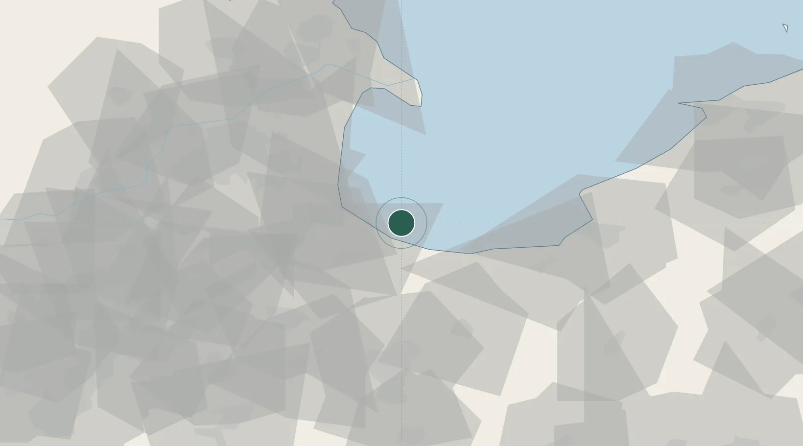
Hub Profile
Place type
Populated place
Region
Shandong
Population
2,044,028
Time zone
Asia/Shanghai
Elevation
30 m
Logistics facilities
3
Location
Nearby Logistics Neighbours
Cities
- 1Dongying49 km
- 2Taipingwan58 km
- 3Laizhou Pt68 km
- 4Anqiu91 km
- 5Shijiu Pt102 km
Ports
- 1Longkou Gang107 km
- 2Penglai159 km
- 3Qingdao Gang165 km
- 4Yantai203 km
- 5Rizhao209 km
Airports
- 1Dongying Shengli Airport46 km
- 2Weifang Nanyuan Airport66 km
- 3Jiaozhou Jiaocheng Air Base126 km
- 4Qingdao Jiaodong International Airport126 km
- 5Laiyang Air Base129 km
DatabookThe Record of Consolidated Knowledge
China beyond logistics?