Export Processing Zone · China

Changle Economic Development Zone Active
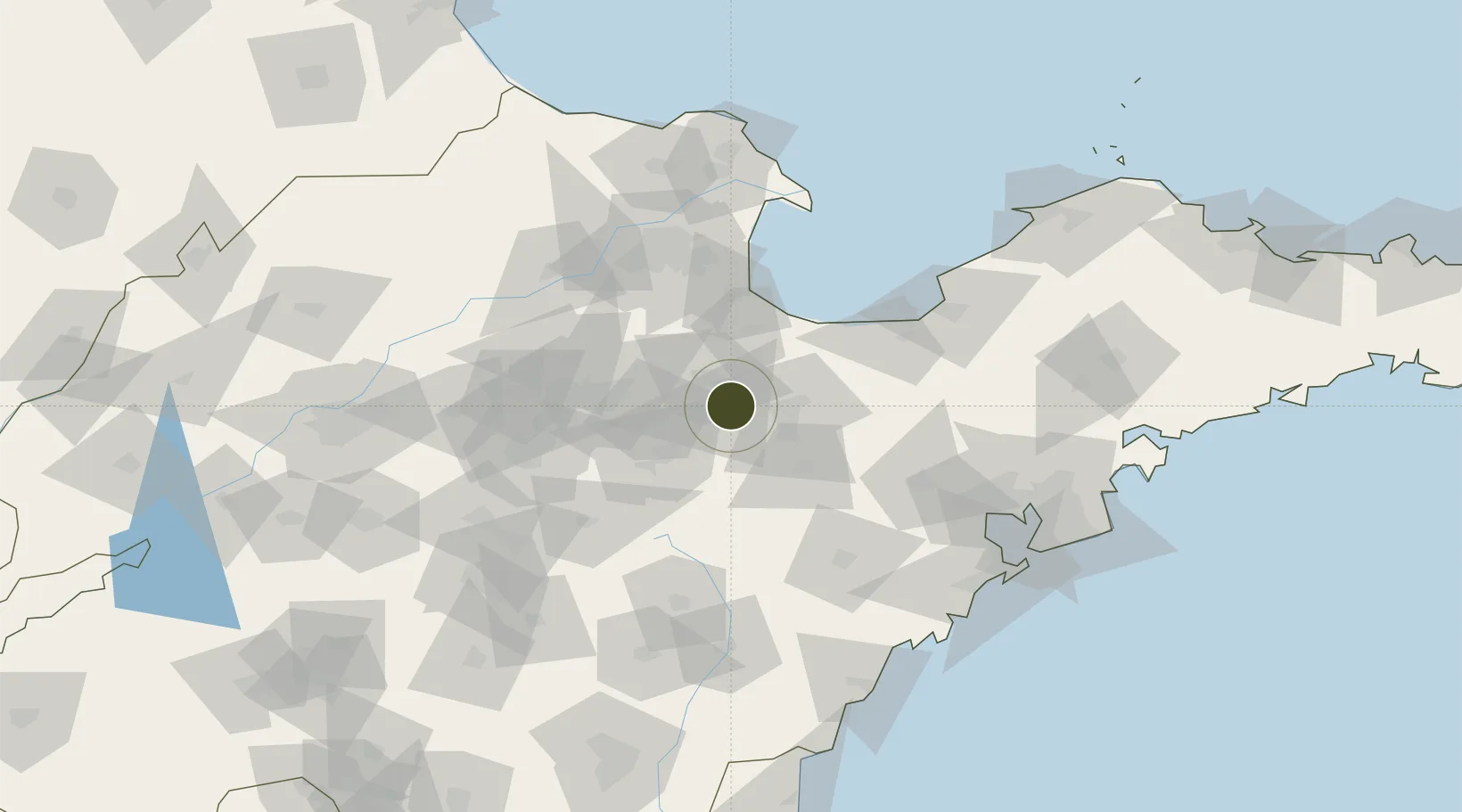
36.7408°, 118.8731°
1,500 ha
Zone area
147.5 km
Nearest port
24.3 km
Nearest airport

Gateway access

Nearest neighbours — logibook spatial index (haversine) over the source coordinates

Zone profile

Zone type
Export Processing Zone
Open Zone Map
Region
Shandong
Open Zone Map
Status
Active
Open Zone Map
Management
Public
Open Zone Map
Operator
Working Committee of Changle Economic Development Zone
Open Zone Map
Legal framework
Development plan of industrial cluster in Changle County
Open Zone Map

Location

Location of ozm-1318
Natural Earth 10m (public domain) · Shandong · ozm-1318 · 36.74, 118.87GoogleOSMYandex

Nearby Logistics Neighbours

Ports
  1. 1Qingdao Gang148 km
  2. 2Longkou Gang160 km
  3. 3Rizhao163 km
  4. 4Lanshan190 km
  5. 5Penglai211 km
Nearest neighbours — logibook spatial index (haversine) over the source coordinates
Airports
  1. 1Weifang Nanyuan Airport24 km
  2. 2Dongying Shengli Airport85 km
  3. 3Zhucheng Air Base94 km
  4. 4Jiaozhou Jiaocheng Air Base113 km
  5. 5Qingdao Jiaodong International Airport116 km
Nearest neighbours — logibook spatial index (haversine) over the source coordinates
Cities
  1. 1Anqiu46 km
  2. 2Linzi47 km
  3. 3Weifang62 km
  4. 4Zibo73 km
  5. 5Shijiu Pt73 km
Nearest neighbours — logibook spatial index (haversine) over the source coordinates
Trade Zones
  1. 1Weifang Phoenix Mountain High-tech Industrial Park28 km
  2. 2Qingzhou Economic Development Zone31 km
  3. 3Weifang Export Processing Zone33 km
  4. 4Linqu Economic Development Zone37 km
  5. 5Changyi Economic Development Zone48 km
Nearest neighbours — logibook spatial index (haversine) over the source coordinates
DatabookThe Record of Consolidated Knowledge
China beyond logistics?
Browse databook

All Sources

Trade ZonesOpen Zone Map
CC BY
Portsthe NGA World Port Index
Public domain (US gov)
AirportsOurAirports
Public domain
LocationsUN/LOCODE
UN/LOCODE — free
← China trade zones