Transport Functions
Port
Rail
Road
Hub Profile
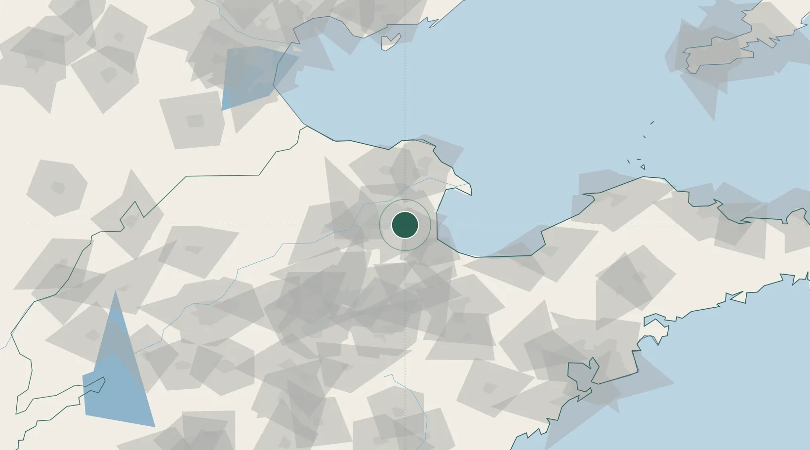
Place type
Provincial seat
Region
Shandong
Population
998,968
Time zone
Asia/Shanghai
Elevation
6 m
Location
Nearby Logistics Neighbours
Cities
- 1Weifang49 km
- 2Zibo84 km
- 3Linzi102 km
- 4Taipingwan103 km
- 5Laizhou Pt115 km
Ports
- 1Longkou Gang143 km
- 2Tianjin Xin Gang188 km
- 3Penglai195 km
- 4Tangshan (Jingtang)200 km
- 5Qingdao Gang209 km
Airports
- 1Dongying Shengli Airport13 km
- 2Weifang Nanyuan Airport94 km
- 3Jinan Yaoqiang International Airport144 km
- 4Zhucheng Air Base169 km
- 5Jiaozhou Jiaocheng Air Base170 km
DatabookThe Record of Consolidated Knowledge
China beyond logistics?