Transport Functions
Rail
Road
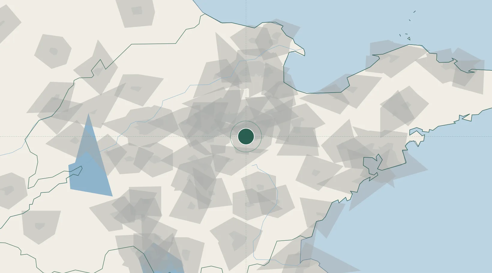
Hub Profile
Place type
Populated place
Region
Shandong
Time zone
Asia/Shanghai
Elevation
70 m
Logistics facilities
1
Location
Nearby Logistics Neighbours
Ports
- 1Rizhao163 km
- 2Qingdao Gang174 km
- 3Lanshan182 km
- 4Longkou Gang206 km
- 5Lianyungang220 km
Airports
- 1Weifang Nanyuan Airport64 km
- 2Guodu Air Base92 km
- 3Zhucheng Air Base106 km
- 4Dongying Shengli Airport114 km
- 5Jinan Yaoqiang International Airport114 km
DatabookThe Record of Consolidated Knowledge
China beyond logistics?