Export Processing Zone · China

Linqu Economic Development Zone Active
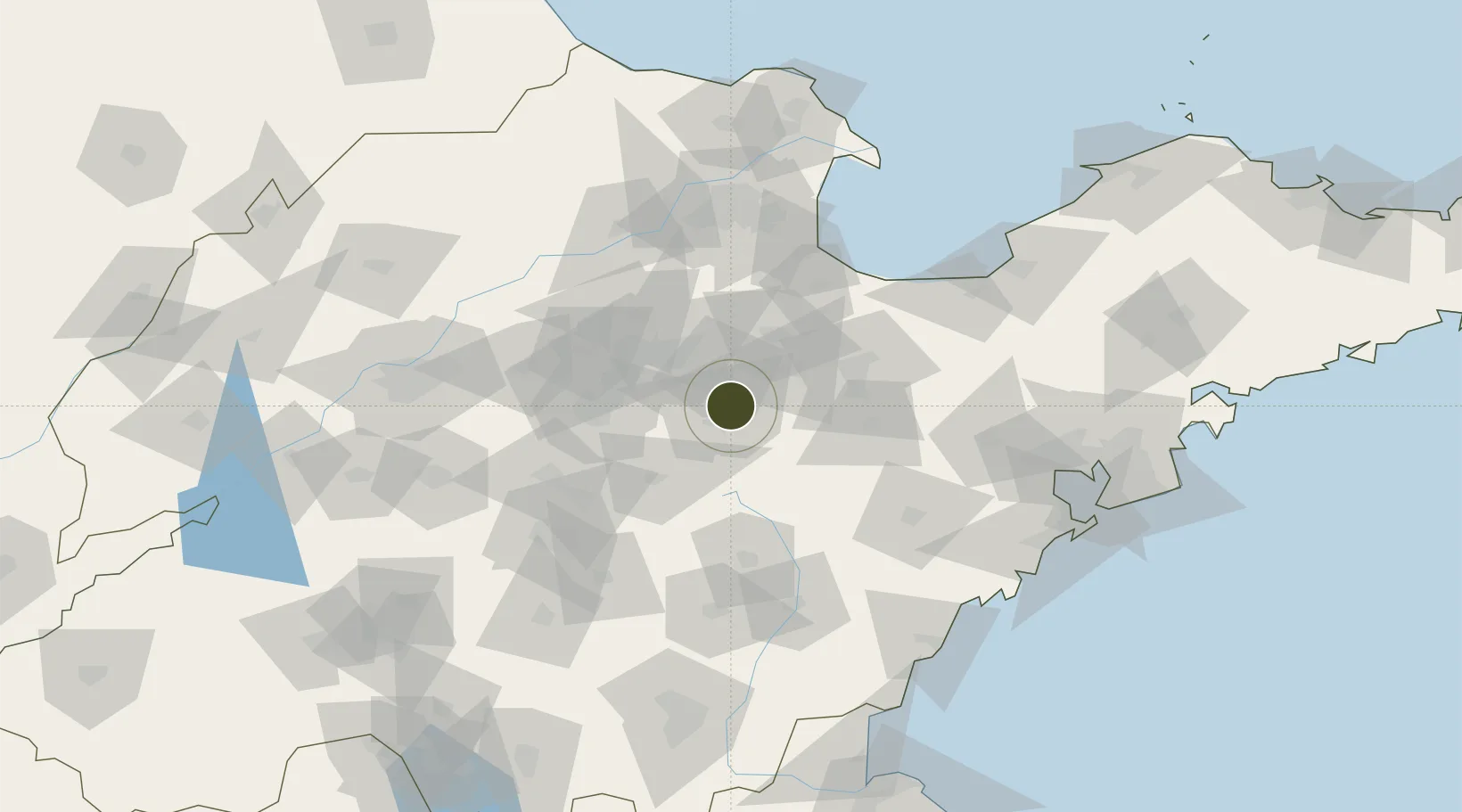
36.5347°, 118.5447°
2,700 ha
Zone area
157.6 km
Nearest port
52.8 km
Nearest airport

Gateway access

Nearest neighbours — logibook spatial index (haversine) over the source coordinates

Zone profile

Zone type
Export Processing Zone
Open Zone Map
Region
Shandong
Open Zone Map
Status
Active
Open Zone Map
Management
Public
Open Zone Map
Operator
Management committee
Open Zone Map
Legal framework
Provincial development zones approved by the People's Government of Shandong Province
Open Zone Map

Location

Location of ozm-1386
Natural Earth 10m (public domain) · Shandong · ozm-1386 · 36.53, 118.54GoogleOSMYandex

Nearby Logistics Neighbours

Ports
  1. 1Rizhao158 km
  2. 2Qingdao Gang164 km
  3. 3Lanshan178 km
  4. 4Longkou Gang197 km
  5. 5Lianyungang216 km
Nearest neighbours — logibook spatial index (haversine) over the source coordinates
Airports
  1. 1Weifang Nanyuan Airport53 km
  2. 2Zhucheng Air Base98 km
  3. 3Guodu Air Base102 km
  4. 4Dongying Shengli Airport110 km
  5. 5Jinan Yaoqiang International Airport124 km
Nearest neighbours — logibook spatial index (haversine) over the source coordinates
Cities
  1. 1Linzi11 km
  2. 2Zibo55 km
  3. 3Anqiu59 km
  4. 4Shijiu Pt92 km
  5. 5Weifang96 km
Nearest neighbours — logibook spatial index (haversine) over the source coordinates
Trade Zones
  1. 1Qingzhou Economic Development Zone22 km
  2. 2Changle Economic Development Zone37 km
  3. 3Shandong Qilu Chemical Industrial Park39 km
  4. 4Yiyuan Economic Development Zone46 km
  5. 5Zhangdian Economic Development Zone47 km
Nearest neighbours — logibook spatial index (haversine) over the source coordinates
DatabookThe Record of Consolidated Knowledge
China beyond logistics?
Browse databook

All Sources

Trade ZonesOpen Zone Map
CC BY
Portsthe NGA World Port Index
Public domain (US gov)
AirportsOurAirports
Public domain
LocationsUN/LOCODE
UN/LOCODE — free
← China trade zones