Transport Functions
Rail
Road
Hub Profile
Place type
Provincial seat
Region
Shandong
Population
1,346,717
Time zone
Asia/Shanghai
Elevation
53 m
Logistics facilities
2
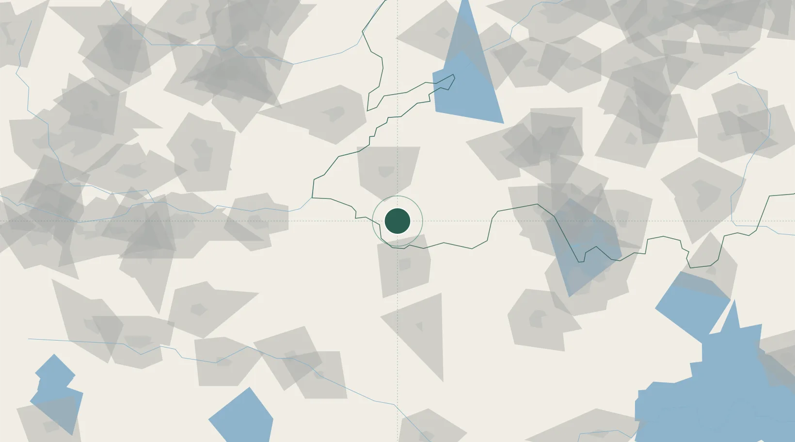
Location
Nearby Logistics Neighbours
Cities
- 1Qingguji / Shangqiu22 km
- 2Jining108 km
- 3Puyang112 km
- 4Kaifeng115 km
- 5Xiaoxian142 km
Ports
- 1Lanshan346 km
- 2Lianyungang353 km
- 3Rizhao368 km
- 4Nanjing422 km
- 5Qingdao Gang445 km
Airports
- 1Shangqiu Air Base42 km
- 2Heze Mudan Airport47 km
- 3Jining Qufu Airport87 km
- 4Kaifeng Air Base114 km
- 5Jining Da'an Airport140 km
DatabookThe Record of Consolidated Knowledge
China beyond logistics?