Export Processing Zone · China

Zoucheng Economic Development Zone Active

35.3769°, 116.9458°
5,700 ha
Zone area
222.3 km
Nearest port
35.2 km
Nearest airport

Gateway access

Nearest neighbours — logibook spatial index (haversine) over the source coordinates

Zone profile

Zone type
Export Processing Zone
Open Zone Map
Region
Shandong
Open Zone Map
Status
Active
Open Zone Map
Management
Public
Open Zone Map
Operator
Zoucheng Economic Development Zone Management Committee
Open Zone Map
Legal framework
A provincial development zone approved by the Shandong Provincial government in 1992
Open Zone Map

Location

Location of ozm-1436
Natural Earth 10m (public domain) · Shandong · ozm-1436 · 35.38, 116.95GoogleOSMYandex

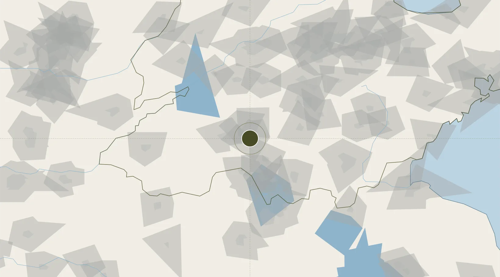
Nearby Logistics Neighbours

Ports
  1. 1Lanshan222 km
  2. 2Rizhao238 km
  3. 3Lianyungang239 km
  4. 4Qingdao Gang309 km
  5. 5Longkou Gang390 km
Nearest neighbours — logibook spatial index (haversine) over the source coordinates
Airports
  1. 1Jining Da'an Airport35 km
  2. 2Jining Qufu Airport55 km
  3. 3Guodu Air Base93 km
  4. 4Heze Mudan Airport111 km
  5. 5Xuzhou Daguozhang Air Base131 km
Nearest neighbours — logibook spatial index (haversine) over the source coordinates
Cities
  1. 1Jining36 km
  2. 2Zaozhuang72 km
  3. 3Taian91 km
  4. 4Zhangqiu116 km
  5. 5Linyi116 km
Nearest neighbours — logibook spatial index (haversine) over the source coordinates
Trade Zones
  1. 1Zoucheng Industrial Park0 km
  2. 2Qufu Economic Development Zone25 km
  3. 3Yanzhou Economic Development Zone27 km
  4. 4Rencheng Economic Development Zone37 km
  5. 5Tengzhou Economic Development Zone41 km
Nearest neighbours — logibook spatial index (haversine) over the source coordinates
DatabookThe Record of Consolidated Knowledge
China beyond logistics?
Browse databook

All Sources

Trade ZonesOpen Zone Map
CC BY
Portsthe NGA World Port Index
Public domain (US gov)
AirportsOurAirports
Public domain
LocationsUN/LOCODE
UN/LOCODE — free
← China trade zones