Export Processing Zone · China

Jinxiang Economic Development Zone Active
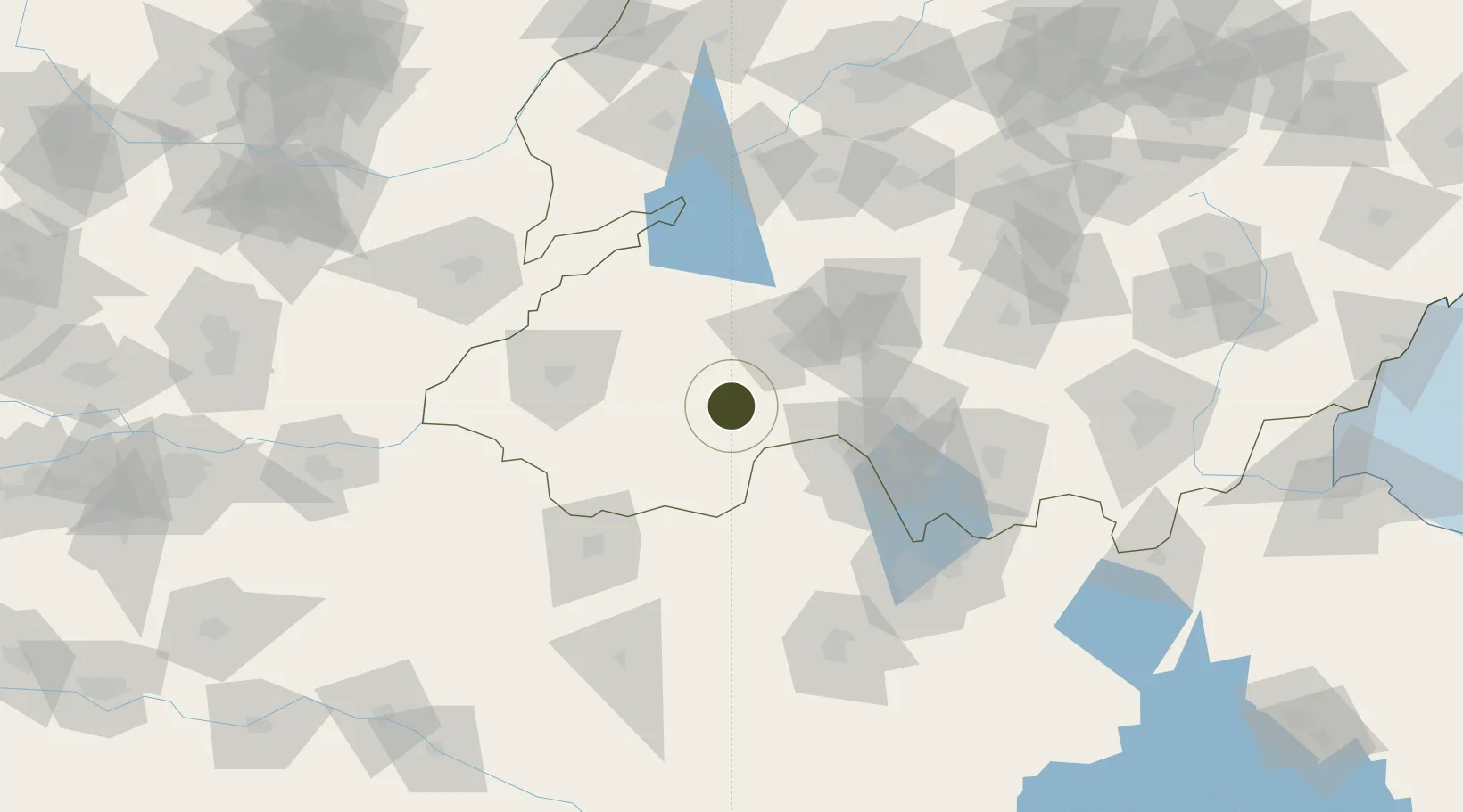
35.1002°, 116.3127°
6,600 ha
Zone area
277.9 km
Nearest port
21.6 km
Nearest airport

Gateway access

Nearest neighbours — logibook spatial index (haversine) over the source coordinates

Zone profile

Zone type
Export Processing Zone
Open Zone Map
Region
Shandong
Open Zone Map
Status
Active
Open Zone Map
Management
Public
Open Zone Map
Operator
Working Committee of Jinxiang Economic Development Zone
Open Zone Map
Legal framework
Jinxiang County City Master Plan (2012-2030) City Prospect Development Diagram
Open Zone Map

Location

Location of ozm-1444
Natural Earth 10m (public domain) · Shandong · ozm-1444 · 35.10, 116.31GoogleOSMYandex

Nearby Logistics Neighbours

Ports
  1. 1Lanshan278 km
  2. 2Lianyungang289 km
  3. 3Rizhao297 km
  4. 4Qingdao Gang372 km
  5. 5Nanjing404 km
Nearest neighbours — logibook spatial index (haversine) over the source coordinates
Airports
  1. 1Jining Qufu Airport22 km
  2. 2Heze Mudan Airport54 km
  3. 3Jining Da'an Airport72 km
  4. 4Shangqiu Air Base106 km
  5. 5Xuzhou Daguozhang Air Base129 km
Nearest neighbours — logibook spatial index (haversine) over the source coordinates
Cities
  1. 1Jining38 km
  2. 2Qingguji / Shangqiu68 km
  3. 3Heze74 km
  4. 4Zaozhuang98 km
  5. 5Zhangqiu110 km
Nearest neighbours — logibook spatial index (haversine) over the source coordinates
Trade Zones
  1. 1Jiaxiang Economic Development Zone28 km
  2. 2Yutai Economic Development Zone34 km
  3. 3Chengwu Industrial Park36 km
  4. 4Rencheng Economic Development Zone37 km
  5. 5Juye Industrial Park37 km
Nearest neighbours — logibook spatial index (haversine) over the source coordinates
DatabookThe Record of Consolidated Knowledge
China beyond logistics?
Browse databook

All Sources

Trade ZonesOpen Zone Map
CC BY
Portsthe NGA World Port Index
Public domain (US gov)
AirportsOurAirports
Public domain
LocationsUN/LOCODE
UN/LOCODE — free
← China trade zones