Diversified Zone · China

Kangping Economic Development Zone Active
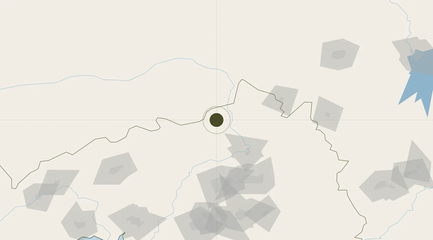
42.8165°, 123.3434°
4,500 ha
Zone area
254.4 km
Nearest port
61.4 km
Nearest airport

Gateway access

Nearest neighbours — logibook spatial index (haversine) over the source coordinates

Zone profile

Zone type
Diversified Zone
Open Zone Map
Region
Liaoning
Open Zone Map
Status
Active
Open Zone Map
Management
Public
Open Zone Map
Operator
Working Committee of Kangping Economic Development Zone
Open Zone Map
Legal framework
Announcement of Competitive Negotiation on the Adjustment Plan of Kangping County Land Use General Plan (2006-2020)
Open Zone Map

Location

Location of ozm-935
Natural Earth 10m (public domain) · Liaoning · ozm-935 · 42.82, 123.34GoogleOSMYandex

Nearby Logistics Neighbours

Ports
  1. 1Yingkou254 km
  2. 2Jinzhou Wan296 km
  3. 3Bayuquan299 km
  4. 4Huludao Gang306 km
  5. 5Dandong340 km
Nearest neighbours — logibook spatial index (haversine) over the source coordinates
Airports
  1. 1Kaiyuan Air Base61 km
  2. 2Siping Air Base86 km
  3. 3Shenyang Beiling Air Base105 km
  4. 4Shenyang Yuhong Quansheng Airport111 km
  5. 5Shenyang Dongta Airport116 km
Nearest neighbours — logibook spatial index (haversine) over the source coordinates
Cities
  1. 1Faku36 km
  2. 2Tieling72 km
  3. 3Zhoutuozi100 km
  4. 4Shenyang113 km
  5. 5Tongliao Apt115 km
Nearest neighbours — logibook spatial index (haversine) over the source coordinates
Trade Zones
  1. 1Faku Economic Development Zone37 km
  2. 2Tieling High-tech Industrial Development Zone81 km
  3. 3Siping Hongzui High-Tech Development Zone94 km
  4. 4Siping Economic Development Zone97 km
  5. 5Shenyang-EU Economic Development Zone99 km
Nearest neighbours — logibook spatial index (haversine) over the source coordinates
DatabookThe Record of Consolidated Knowledge
China beyond logistics?
Browse databook

All Sources

Trade ZonesOpen Zone Map
CC BY
Portsthe NGA World Port Index
Public domain (US gov)
AirportsOurAirports
Public domain
LocationsUN/LOCODE
UN/LOCODE — free
← China trade zones