Runway & Layout

Airport Specifications
Airport class
Medium airport
Scheduled service
No
Served city
Qinghe, Tieling
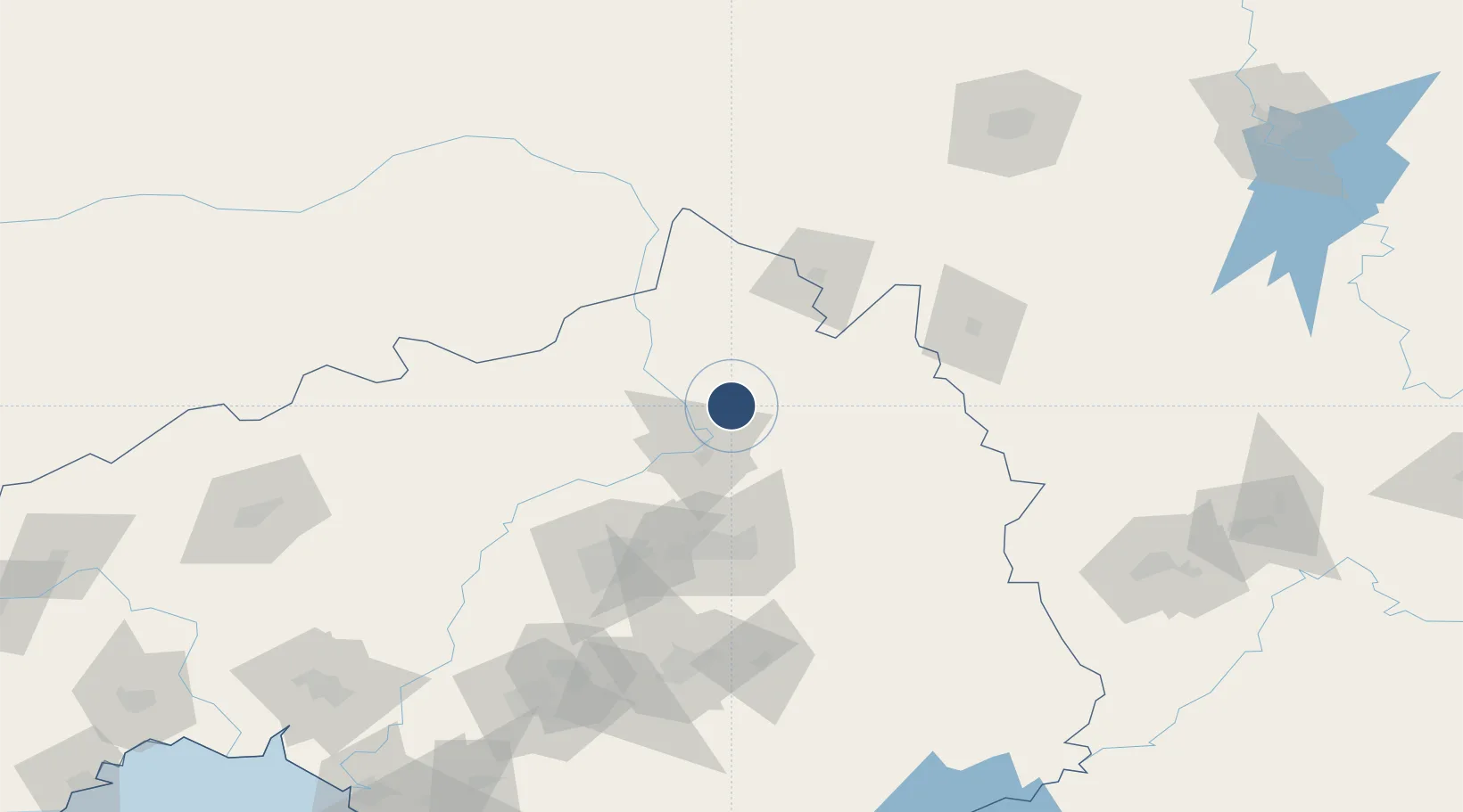
Location
Nearby Logistics Neighbours
Airports
Ports
- 1Yingkou251 km
- 2Bayuquan294 km
- 3Dandong302 km
- 4Jinzhou Wan310 km
- 5Huludao Gang322 km
DatabookThe Record of Consolidated Knowledge
China beyond logistics?