Transport Functions
Rail
Road
Hub Profile
Place type
Populated place
Region
Liaoning
Time zone
Asia/Shanghai
Elevation
61 m
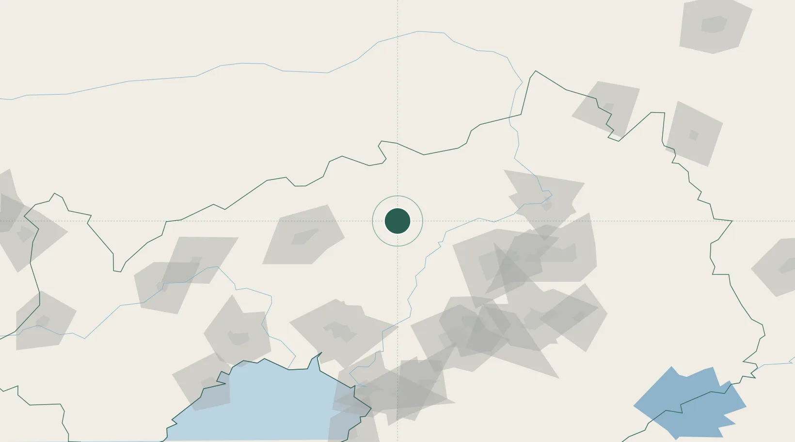
Location
Nearby Logistics Neighbours
Ports
- 1Yingkou165 km
- 2Jinzhou Wan196 km
- 3Huludao Gang207 km
- 4Bayuquan209 km
- 5Dandong293 km
Airports
DatabookThe Record of Consolidated Knowledge
China beyond logistics?