Diversified Zone · China

Siping Economic Development Zone Active
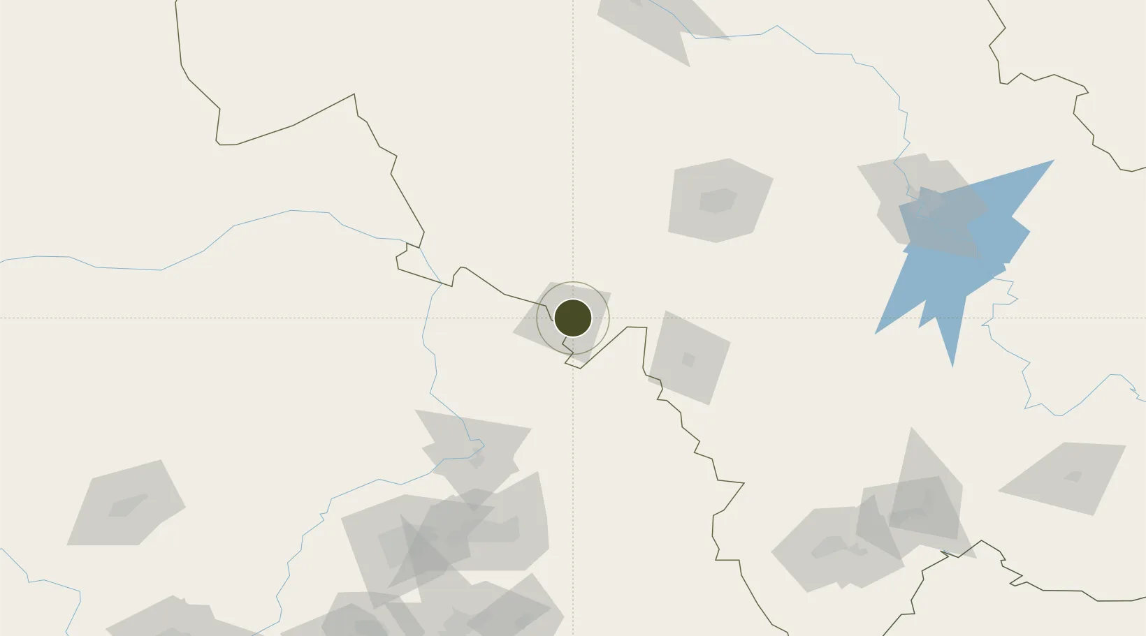
43.1601°, 124.4350°
174 ha
Zone area
330.2 km
Nearest port
11.6 km
Nearest airport

Gateway access

Nearest neighbours — logibook spatial index (haversine) over the source coordinates

Zone profile

Zone type
Diversified Zone
Open Zone Map
Region
Jilin
Open Zone Map
Status
Active
Open Zone Map
Management
Public
Open Zone Map
Operator
Siping Economic Development Management committee
Open Zone Map
Legal framework
Approved by the people's Government of Jilin Province, the establishment of provincial development zones
Open Zone Map

Location

Location of ozm-353
Natural Earth 10m (public domain) · Jilin · ozm-353 · 43.16, 124.44GoogleOSMYandex

Nearby Logistics Neighbours

Ports
  1. 1Yingkou330 km
  2. 2Dandong373 km
  3. 3Bayuquan373 km
  4. 4Jinzhou Wan385 km
  5. 5Huludao Gang395 km
Nearest neighbours — logibook spatial index (haversine) over the source coordinates
Airports
  1. 1Siping Air Base12 km
  2. 2Gongzhuling Air Base50 km
  3. 3Kaiyuan Air Base80 km
  4. 4Changchun Air Base103 km
  5. 5Changchun Longjia International Airport137 km
Nearest neighbours — logibook spatial index (haversine) over the source coordinates
Cities
  1. 1Jiashan46 km
  2. 2Liaoyuan64 km
  3. 3Changchun109 km
  4. 4Tieling109 km
  5. 5Faku112 km
Nearest neighbours — logibook spatial index (haversine) over the source coordinates
DatabookThe Record of Consolidated Knowledge
China beyond logistics?
Browse databook

All Sources

Trade ZonesOpen Zone Map
CC BY
Portsthe NGA World Port Index
Public domain (US gov)
AirportsOurAirports
Public domain
LocationsUN/LOCODE
UN/LOCODE — free
← China trade zones