UN/LOCODE hub · China
CNSHY

Shenyang

41.8000°, 123.4167°
7,050,000
Population
3
Transport functions

Transport Functions

Rail
Airport
Postal
UN/LOCODE

Hub Profile

Place type
Regional capital
GeoNames
Region
Liaoning
GeoNames
Population
7,050,000
GeoNames
Time zone
Asia/Shanghai
GeoNames
Elevation
53 m
GeoNames

Location

Location of CNSHY
Natural Earth 10m (public domain) · Liaoning · CNSHY · 41.80, 123.42GoogleOSMYandex

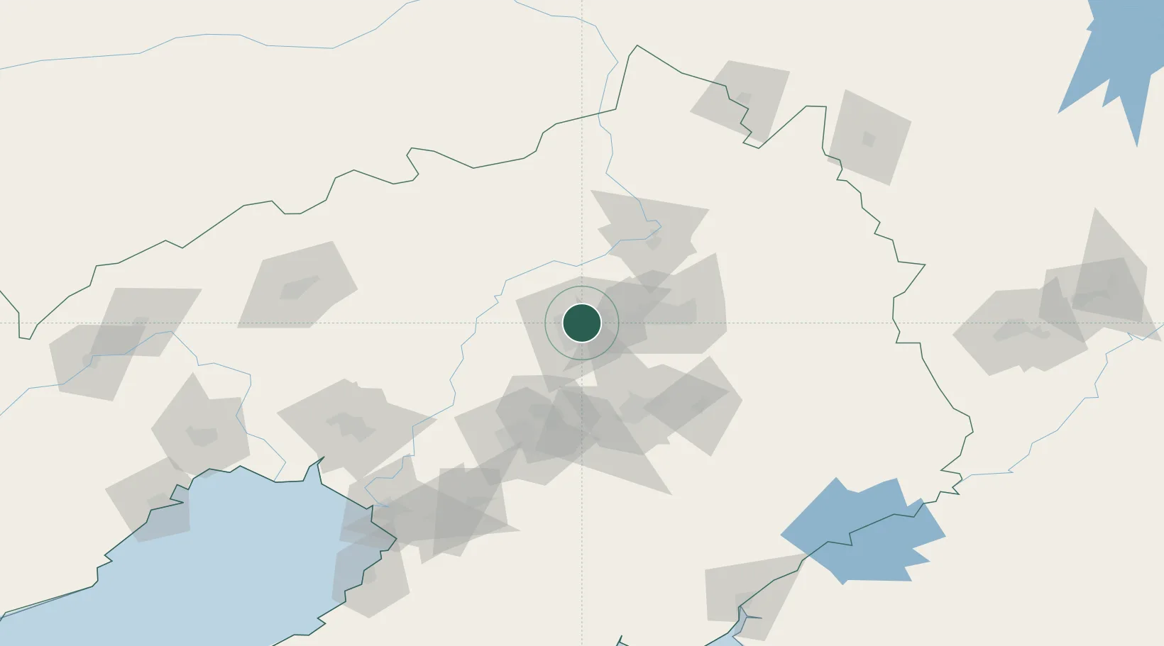
Nearby Logistics Neighbours

Cities
  1. 1Fushun40 km
  2. 2Tieling64 km
  3. 3Anshan Teng'ao Apt77 km
  4. 4Anping77 km
  5. 5Faku78 km
Nearest neighbours — logibook spatial index (haversine) over the source coordinates
Ports
  1. 1Yingkou159 km
  2. 2Bayuquan201 km
  3. 3Jinzhou Wan226 km
  4. 4Dandong229 km
  5. 5Huludao Gang237 km
Nearest neighbours — logibook spatial index (haversine) over the source coordinates
Airports
  1. 1Shenyang Dongta Airport7 km
  2. 2Shenyang Beiling Air Base8 km
  3. 3Shenyang Yuhong Quansheng Airport10 km
  4. 4Shenyang Taoxian International Airport19 km
  5. 5Anshan Teng'ao Airport / Anshan Air Base90 km
Nearest neighbours — logibook spatial index (haversine) over the source coordinates
Trade Zones
  1. 1Shenyang Capital Economic Development Zone10 km
  2. 2Shenyang Export Processing Zone11 km
  3. 3Shenyang Cedar Economic Development Zone16 km
  4. 4Shenyang-EU Economic Development Zone18 km
  5. 5Fushun Economic Development Zone26 km
Nearest neighbours — logibook spatial index (haversine) over the source coordinates
DatabookThe Record of Consolidated Knowledge
China beyond logistics?
Browse databook

All Sources

LocationsUN/LOCODE
UN/LOCODE — free
LocationsGeoNames
CC BY 4.0
Portsthe NGA World Port Index
Public domain (US gov)
AirportsOurAirports
Public domain
Trade Zonesthe World Bank SEZ database
CC BY 4.0
Trade ZonesOpen Zone Map
CC BY
← China locations