Diversified Zone · China

Tieling High-tech Industrial Development Zone Active
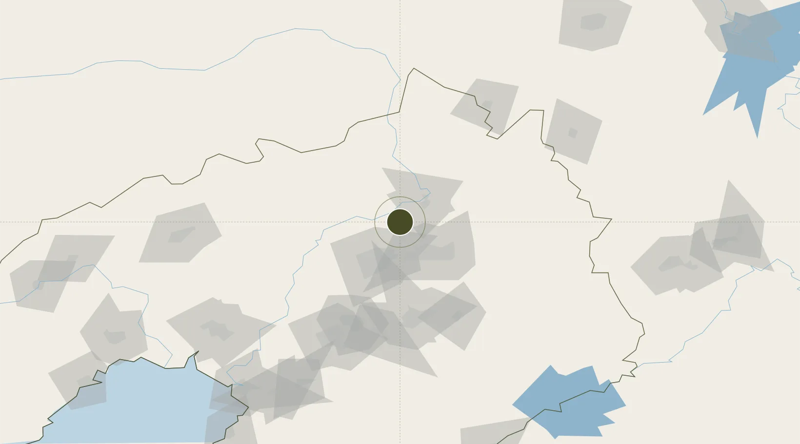
42.1241°, 123.6281°
725 ha
Zone area
198.0 km
Nearest port
32.2 km
Nearest airport

Gateway access

Nearest neighbours — logibook spatial index (haversine) over the source coordinates

Zone profile

Zone type
Diversified Zone
Open Zone Map
Region
Liaoning
Open Zone Map
Status
Active
Open Zone Map
Management
Public
Open Zone Map
Operator
Management Committee of Tieling High-tech Industrial Development Zone
Open Zone Map
Legal framework
Established in December 2005
Open Zone Map

Location

Location of ozm-600
Natural Earth 10m (public domain) · Liaoning · ozm-600 · 42.12, 123.63GoogleOSMYandex

Nearby Logistics Neighbours

Ports
  1. 1Yingkou198 km
  2. 2Bayuquan241 km
  3. 3Jinzhou Wan260 km
  4. 4Dandong260 km
  5. 5Huludao Gang272 km
Nearest neighbours — logibook spatial index (haversine) over the source coordinates
Airports
  1. 1Shenyang Beiling Air Base32 km
  2. 2Shenyang Dongta Airport39 km
  3. 3Shenyang Yuhong Quansheng Airport43 km
  4. 4Kaiyuan Air Base53 km
  5. 5Shenyang Taoxian International Airport55 km
Nearest neighbours — logibook spatial index (haversine) over the source coordinates
Cities
  1. 1Tieling25 km
  2. 2Fushun38 km
  3. 3Shenyang40 km
  4. 4Faku46 km
  5. 5Zhoutuozi90 km
Nearest neighbours — logibook spatial index (haversine) over the source coordinates
Trade Zones
  1. 1Shenyang-EU Economic Development Zone23 km
  2. 2Fushun Economic Development Zone33 km
  3. 3Shenyang Export Processing Zone42 km
  4. 4Faku Economic Development Zone44 km
  5. 5Shenyang Capital Economic Development Zone47 km
Nearest neighbours — logibook spatial index (haversine) over the source coordinates
DatabookThe Record of Consolidated Knowledge
China beyond logistics?
Browse databook

All Sources

Trade ZonesOpen Zone Map
CC BY
Portsthe NGA World Port Index
Public domain (US gov)
AirportsOurAirports
Public domain
LocationsUN/LOCODE
UN/LOCODE — free
← China trade zones