Export Processing Zone · China

Shenyang-EU Economic Development Zone Active
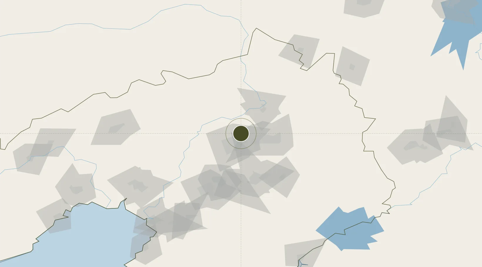
41.9364°, 123.5259°
1,800 ha
Zone area
176.3 km
Nearest port
10.2 km
Nearest airport

Gateway access

Nearest neighbours — logibook spatial index (haversine) over the source coordinates

Zone profile

Zone type
Export Processing Zone
Open Zone Map
Region
Liaoning
Open Zone Map
Status
Active
Open Zone Map
Management
Public
Open Zone Map
Operator
Working Committee of Shenyang-EU Economic Development Zone
Open Zone Map
Legal framework
Regulatory Detailed Planning of Ningguan Unit (ENNG) in Shenyang Downtown Area
Open Zone Map

Location

Location of ozm-1337
Natural Earth 10m (public domain) · Liaoning · ozm-1337 · 41.94, 123.53GoogleOSMYandex

Nearby Logistics Neighbours

Ports
  1. 1Yingkou176 km
  2. 2Bayuquan218 km
  3. 3Dandong242 km
  4. 4Jinzhou Wan242 km
  5. 5Huludao Gang253 km
Nearest neighbours — logibook spatial index (haversine) over the source coordinates
Airports
  1. 1Shenyang Beiling Air Base10 km
  2. 2Shenyang Dongta Airport17 km
  3. 3Shenyang Yuhong Quansheng Airport23 km
  4. 4Shenyang Taoxian International Airport33 km
  5. 5Kaiyuan Air Base76 km
Nearest neighbours — logibook spatial index (haversine) over the source coordinates
Cities
  1. 1Shenyang18 km
  2. 2Fushun32 km
  3. 3Tieling46 km
  4. 4Faku64 km
  5. 5Zhoutuozi85 km
Nearest neighbours — logibook spatial index (haversine) over the source coordinates
DatabookThe Record of Consolidated Knowledge
China beyond logistics?
Browse databook

All Sources

Trade ZonesOpen Zone Map
CC BY
Portsthe NGA World Port Index
Public domain (US gov)
AirportsOurAirports
Public domain
LocationsUN/LOCODE
UN/LOCODE — free
← China trade zones