UN/LOCODE hub · China
CNTIL

Tieling

42.2833°, 123.8333°
333,907
Population
1
Transport functions

Transport Functions

Multimodal
UN/LOCODE

Hub Profile

Place type
Populated place
GeoNames
Region
Liaoning
GeoNames
Population
333,907
GeoNames
Time zone
Asia/Shanghai
GeoNames
Elevation
64 m
GeoNames

Location

Location of CNTIL
Natural Earth 10m (public domain) · Liaoning · CNTIL · 42.28, 123.83GoogleOSMYandex

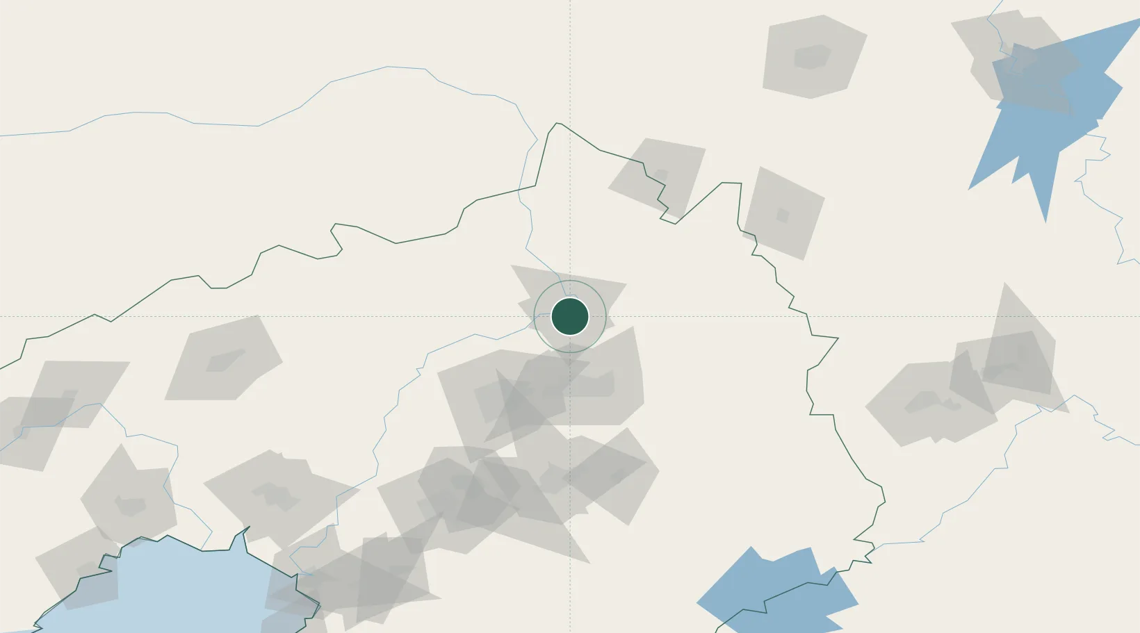
Nearby Logistics Neighbours

Cities
  1. 1Faku43 km
  2. 2Fushun49 km
  3. 3Shenyang64 km
  4. 4Zhoutuozi108 km
  5. 5Liaoyuan127 km
Nearest neighbours — logibook spatial index (haversine) over the source coordinates
Ports
  1. 1Yingkou222 km
  2. 2Bayuquan265 km
  3. 3Dandong276 km
  4. 4Jinzhou Wan284 km
  5. 5Huludao Gang296 km
Nearest neighbours — logibook spatial index (haversine) over the source coordinates
Airports
  1. 1Kaiyuan Air Base30 km
  2. 2Shenyang Beiling Air Base56 km
  3. 3Shenyang Dongta Airport62 km
  4. 4Shenyang Yuhong Quansheng Airport68 km
  5. 5Shenyang Taoxian International Airport77 km
Nearest neighbours — logibook spatial index (haversine) over the source coordinates
Trade Zones
  1. 1Tieling High-tech Industrial Development Zone25 km
  2. 2Faku Economic Development Zone41 km
  3. 3Shenyang-EU Economic Development Zone46 km
  4. 4Fushun Economic Development Zone51 km
  5. 5Shenyang Export Processing Zone64 km
Nearest neighbours — logibook spatial index (haversine) over the source coordinates
DatabookThe Record of Consolidated Knowledge
China beyond logistics?
Browse databook

All Sources

LocationsUN/LOCODE
UN/LOCODE — free
LocationsGeoNames
CC BY 4.0
Portsthe NGA World Port Index
Public domain (US gov)
AirportsOurAirports
Public domain
Trade Zonesthe World Bank SEZ database
CC BY 4.0
Trade ZonesOpen Zone Map
CC BY
← China locations