Diversified Zone · China

Jingshan Economic Development Zone Active
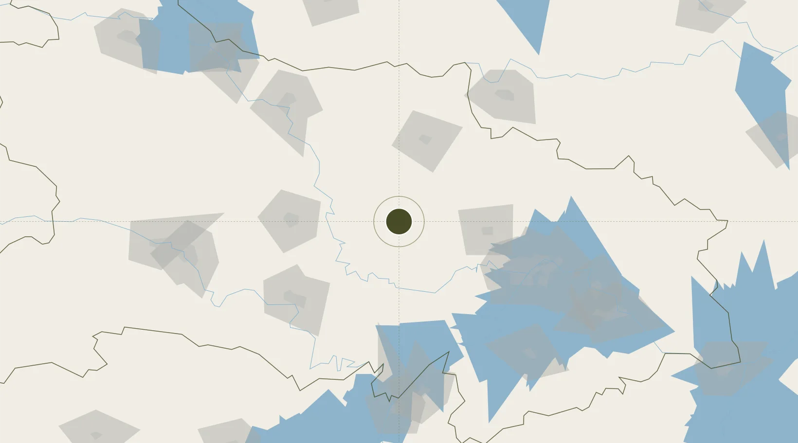
31.0222°, 113.1509°
3,216 ha
Zone area
118.7 km
Nearest port
72.9 km
Nearest airport

Gateway access

Nearest neighbours — logibook spatial index (haversine) over the source coordinates

Zone profile

Zone type
Diversified Zone
Open Zone Map
Region
Hubei
Open Zone Map
Status
Active
Open Zone Map
Management
Public
Open Zone Map
Operator
Management Committee of Jingshan Economic Development Zone
Open Zone Map
Legal framework
It was established in August 1992
Open Zone Map

Location

Location of ozm-896
Natural Earth 10m (public domain) · Hubei · ozm-896 · 31.02, 113.15GoogleOSMYandex

Nearby Logistics Neighbours

Ports
  1. 1Hankow119 km
  2. 2Nanjing543 km
  3. 3Zhenjiang609 km
  4. 4Yangzhou611 km
  5. 5Gaogang649 km
Nearest neighbours — logibook spatial index (haversine) over the source coordinates
Airports
  1. 1Xiaogan Air Base73 km
  2. 2Wuhan Tianhe International Airport105 km
  3. 3Jingzhou Shashi Airport105 km
  4. 4Wuhan Hannan Municipal Airport122 km
  5. 5Dangyang Air Base130 km
Nearest neighbours — logibook spatial index (haversine) over the source coordinates
Cities
  1. 1Jingzhou Pt117 km
  2. 2Hankou117 km
  3. 3Wuhan119 km
  4. 4Xiangfan148 km
  5. 5Xinyang150 km
Nearest neighbours — logibook spatial index (haversine) over the source coordinates
Trade Zones
  1. 1Anlu Economic Development Zone60 km
  2. 2Shayang Economic Development Zone66 km
  3. 3Tieli Economic Development Zone81 km
  4. 4Xiantao Economic Development Zone82 km
  5. 5Zhongxiang Economic Development Zone85 km
Nearest neighbours — logibook spatial index (haversine) over the source coordinates
DatabookThe Record of Consolidated Knowledge
China beyond logistics?
Browse databook

All Sources

Trade ZonesOpen Zone Map
CC BY
Portsthe NGA World Port Index
Public domain (US gov)
AirportsOurAirports
Public domain
LocationsUN/LOCODE
UN/LOCODE — free
← China trade zones