Diversified Zone · China

Chongqing Chemical Industrial Park Active
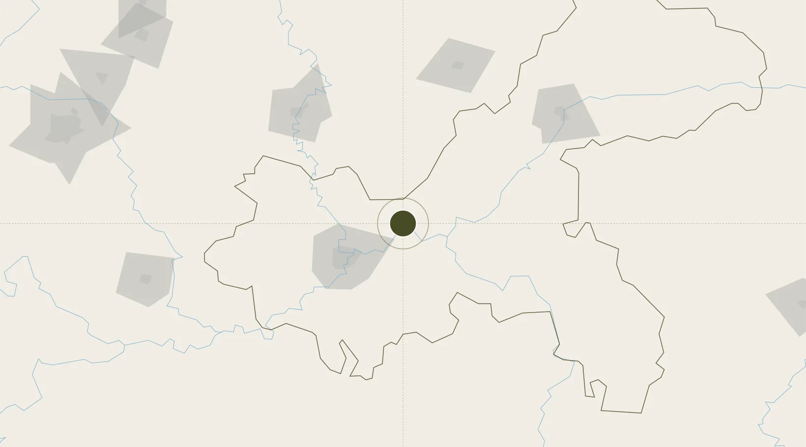
29.8437°, 107.0158°
3,130 ha
Zone area
703.0 km
Nearest port
38.0 km
Nearest airport

Gateway access

Nearest neighbours — logibook spatial index (haversine) over the source coordinates

Zone profile

Zone type
Diversified Zone
Open Zone Map
Region
Chongqing
Open Zone Map
Status
Active
Open Zone Map
Management
Public
Open Zone Map
Operator
Chongqing Chemical Industrial Park Management Committee
Open Zone Map
Legal framework
In December 2001, Chongqing Municipal People's Government approved the establishment of a provincial industrial park
Open Zone Map

Location

Location of ozm-890
Natural Earth 10m (public domain) · Chongqing · ozm-890 · 29.84, 107.02GoogleOSMYandex

Nearby Logistics Neighbours

Ports
  1. 1Hankow703 km
  2. 2Fang-Cheng910 km
  3. 3Qinzhou915 km
  4. 4Beihai952 km
  5. 5Guangzhou970 km
Nearest neighbours — logibook spatial index (haversine) over the source coordinates
Airports
  1. 1Chongqing Jiangbei International Airport38 km
  2. 2Chongqing Baishiyi Air Base74 km
  3. 3Chongqing Xiannüshan Airport78 km
  4. 4Nanchong Gaoping Airport134 km
  5. 5Dazhou Jinya Airport140 km
Nearest neighbours — logibook spatial index (haversine) over the source coordinates
Cities
  1. 1Fuling37 km
  2. 2Chongqing48 km
  3. 3Suining162 km
  4. 4Luzhou189 km
  5. 5Xiantan214 km
Nearest neighbours — logibook spatial index (haversine) over the source coordinates
Trade Zones
  1. 1Changshou Industrial Park15 km
  2. 2Fuling Industrial Park31 km
  3. 3Gangcheng Industrial Park42 km
  4. 4Tongxing Industrial Park54 km
  5. 5Sichuan Linshui High-tech Industrial Park55 km
Nearest neighbours — logibook spatial index (haversine) over the source coordinates
DatabookThe Record of Consolidated Knowledge
China beyond logistics?
Browse databook

All Sources

Trade ZonesOpen Zone Map
CC BY
Portsthe NGA World Port Index
Public domain (US gov)
AirportsOurAirports
Public domain
LocationsUN/LOCODE
UN/LOCODE — free
← China trade zones