Diversified Zone · China

Kaifeng City Fine Chemical Industry Cluster Active
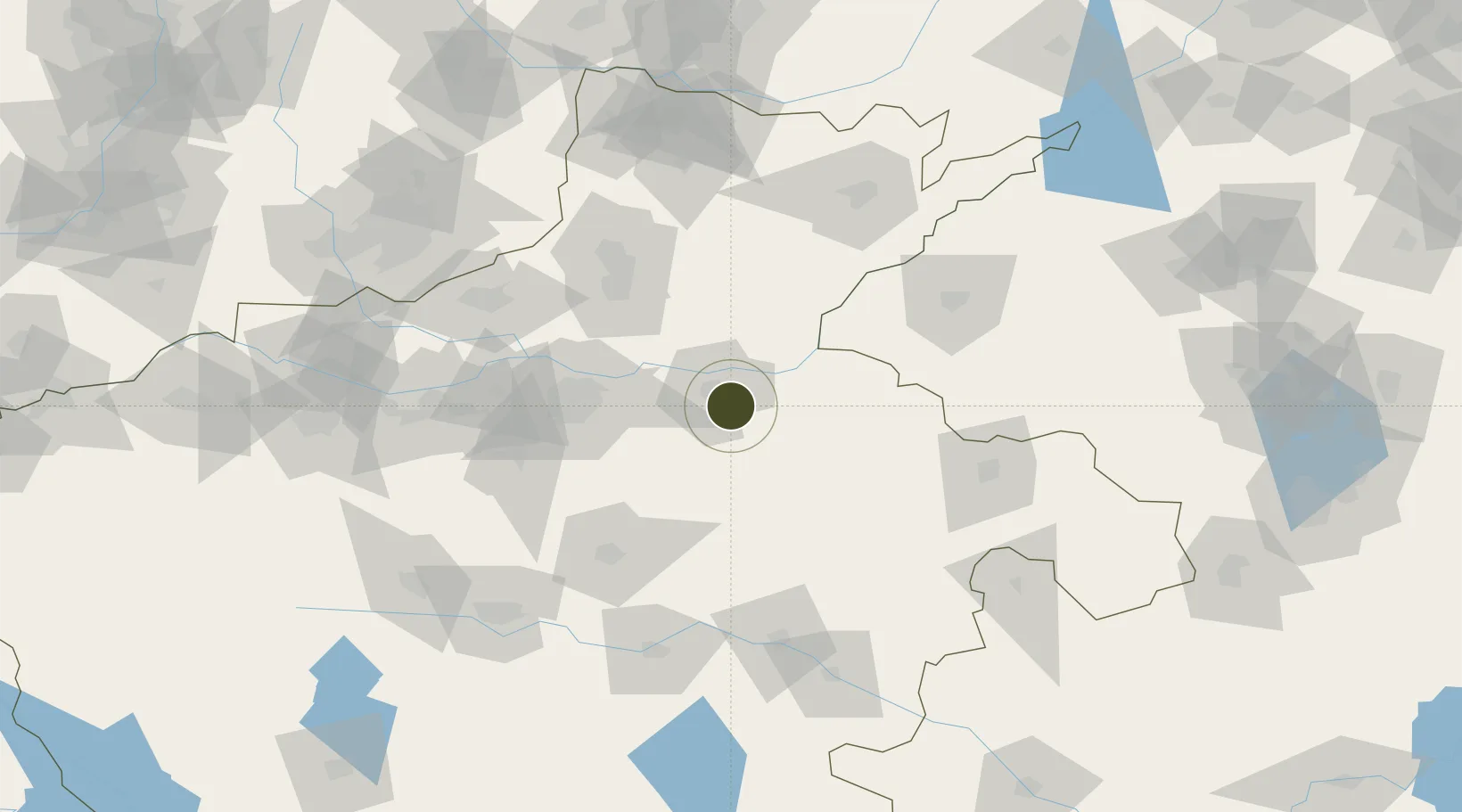
34.7413°, 114.4168°
1,530 ha
Zone area
452.9 km
Nearest port
7.2 km
Nearest airport

Gateway access

Nearest neighbours — logibook spatial index (haversine) over the source coordinates

Zone profile

Zone type
Diversified Zone
Open Zone Map
Region
Henan
Open Zone Map
Status
Active
Open Zone Map
Management
Public
Open Zone Map
Operator
Kaifeng City Fine Chemical Industry Cluster Management Committee
Open Zone Map
Legal framework
In 1995, the former Ministry of Chemical industry identified one of the country's 14 fine chemical base
Open Zone Map

Location

Location of ozm-778
Natural Earth 10m (public domain) · Henan · ozm-778 · 34.74, 114.42GoogleOSMYandex

Nearby Logistics Neighbours

Ports
  1. 1Lanshan453 km
  2. 2Lianyungang460 km
  3. 3Hankow463 km
  4. 4Rizhao474 km
  5. 5Nanjing499 km
Nearest neighbours — logibook spatial index (haversine) over the source coordinates
Airports
  1. 1Kaifeng Air Base7 km
  2. 2Zhengzhou Xinzheng International Airport57 km
  3. 3Zhengzhou Air Base64 km
  4. 4Shangqiu Air Base101 km
  5. 5Anyang Hongqiqu Airport126 km
Nearest neighbours — logibook spatial index (haversine) over the source coordinates
Cities
  1. 1Kaifeng9 km
  2. 2Zhengzhoudong Railway Station59 km
  3. 3Zhengzhou69 km
  4. 4Xinxiang80 km
  5. 5Dazhaoying83 km
Nearest neighbours — logibook spatial index (haversine) over the source coordinates
Trade Zones
  1. 1Huanglong Park of Kaifeng Economic Development Zone4 km
  2. 2Biandong Industrial Cluster7 km
  3. 3Zhongmu Automobile Industry Cluster37 km
  4. 4Lankao County Industrial Cluster38 km
  5. 5Jiulong Industrial Park52 km
Nearest neighbours — logibook spatial index (haversine) over the source coordinates
DatabookThe Record of Consolidated Knowledge
China beyond logistics?
Browse databook

All Sources

Trade ZonesOpen Zone Map
CC BY
Portsthe NGA World Port Index
Public domain (US gov)
AirportsOurAirports
Public domain
LocationsUN/LOCODE
UN/LOCODE — free
← China trade zones