Transport Functions
Road
Multimodal
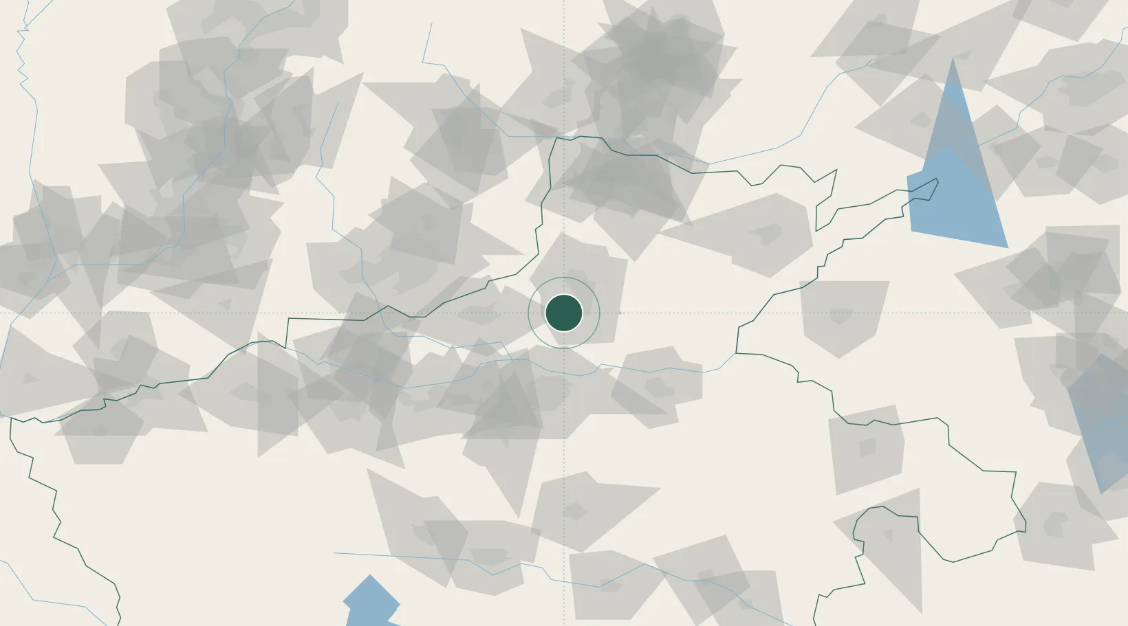
Hub Profile
Place type
Populated place
Region
Henan
Time zone
Asia/Shanghai
Elevation
74 m
Location
Nearby Logistics Neighbours
Cities
- 1Xinxiang10 km
- 2Jiaozuo56 km
- 3Zhengzhou56 km
- 4Zhengzhoudong Railway Station58 km
- 5Hebi71 km
Ports
- 1Lanshan509 km
- 2Lianyungang521 km
- 3Hankow523 km
- 4Rizhao526 km
- 5Tianjin Xin Gang547 km
Airports
- 1Zhengzhou Air Base45 km
- 2Kaifeng Air Base77 km
- 3Zhengzhou Xinzheng International Airport83 km
- 4Anyang Hongqiqu Airport92 km
- 5Changzhi Wangcun Airport123 km
DatabookThe Record of Consolidated Knowledge
China beyond logistics?